


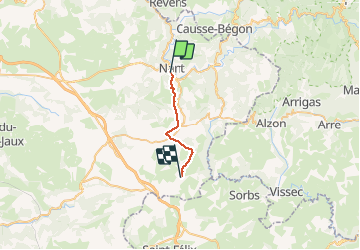

13,5 km | 15,6 km-effort


Utilisateur


Application GPS de randonnée GRATUITE
 SityTrail
IGN / Instituts géographiques
SityTrail World
Le monde est à vous
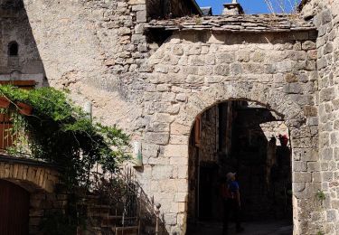
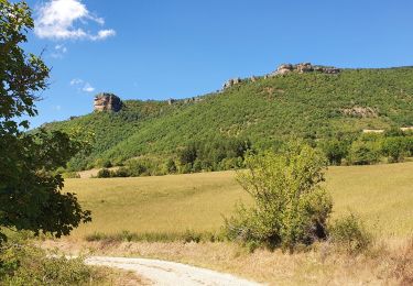
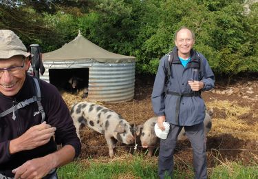
Randonnée Marche de 16,1 km à découvrir à Occitanie, Aveyron, Nant. Cette randonnée est proposée par pcugnod.
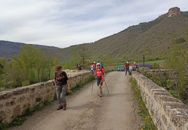
L’appli a buggé au départ

Marche
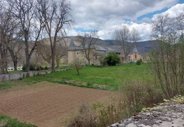
Marche
Marche

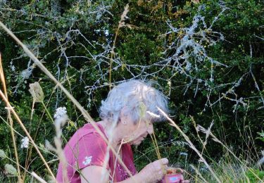
Marche

Course à pied