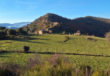
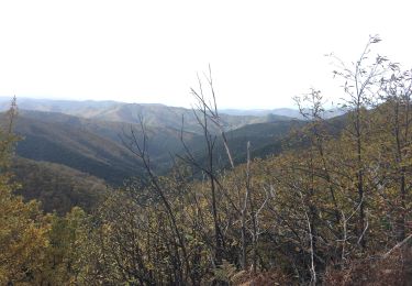
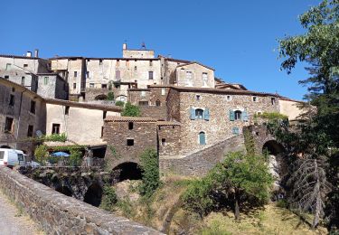
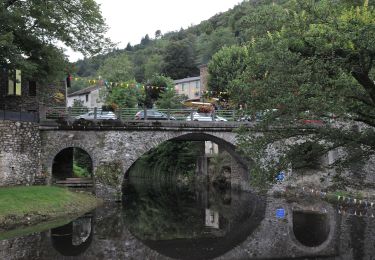
13,6 km | 21 km-effort
Col d’asclier
antignacs
Utilisateur GUIDE
Longueur
6,2 km
Altitude max
1009 m
Dénivelé positif
235 m
Km-Effort
9,4 km
Altitude min
873 m
Dénivelé négatif
253 m
Boucle
Non
Date de création :
2020-08-30 13:32:48.0
Dernière modification :
2020-08-30 15:36:37.862
2h03
Difficulté : Facile
Application GPS de randonnée GRATUITE
À propos
Randonnée Marche de 6,2 km à découvrir à Occitanie, Gard, Val-d'Aigoual. Cette randonnée est proposée par antignacs.
Localisation
Pays :
France
Région :
Occitanie
Département/Province :
Gard
Commune :
Val-d'Aigoual
Localité :
Notre-Dame-de-la-Rouvière
Départ:(Dec)
Départ:(UTM)
559601 ; 4880735 (31T) N.
Commentaires
Randonnées à proximité
Sentier de Saint Marcel de Fontfouillouse - Les Plantiers
Marche
Très difficile
(1)
Les Plantiers,
Occitanie,
Gard,
France
4h 0min
Oui
Vallée Borgne
Marche
Difficile
Les Plantiers,
Occitanie,
Gard,
France
19,7 km | 32 km-effort
5h 19min
Oui
Exil / pont des chèvres
Marche
Difficile
Saumane,
Occitanie,
Gard,
France
17,3 km | 27 km-effort
5h 53min
Oui
Les Plantiers et st Marcel de Fontfouillouse
Marche
Difficile
(1)
Les Plantiers,
Occitanie,
Gard,
France
13,6 km | 21 km-effort
4h 33min
Oui
Sentier du Mouflon - Les Plantiers
Marche
Difficile
Les Plantiers,
Occitanie,
Gard,
France
11,2 km | 18,6 km-effort
3h 30min
Oui
sentier du soult -
Marche
Difficile
L'Estréchure,
Occitanie,
Gard,
France
10,3 km | 17,1 km-effort
3h 52min
Oui
Montagne du Liron au départ de St Martial
Marche
Difficile
Saint-Martial,
Occitanie,
Gard,
France
19,4 km | 32 km-effort
7h 4min
Oui
Sentier de Fontfouillouse
A pied
Facile
Les Plantiers,
Occitanie,
Gard,
France
9,2 km | 15,2 km-effort
3h 27min
Non
arsel saint martial
Marche
Moyen
Saint-Martial,
Occitanie,
Gard,
France
22 km | 34 km-effort
7h 32min
Oui