


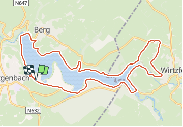

14,4 km | 17,3 km-effort


Utilisateur


Application GPS de randonnée GRATUITE
 SityTrail
IGN / Instituts géographiques
SityTrail World
Le monde est à vous
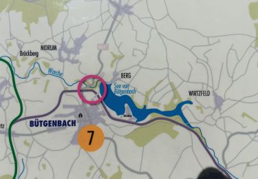
Randonnée Marche de 12 km à découvrir à Wallonie, Liège, Butgenbach. Cette randonnée est proposée par Jeanedouard.
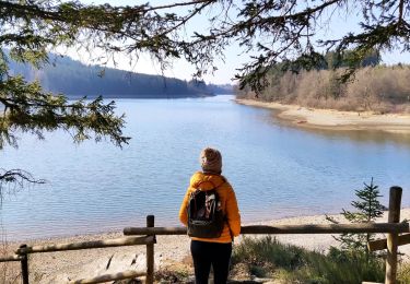
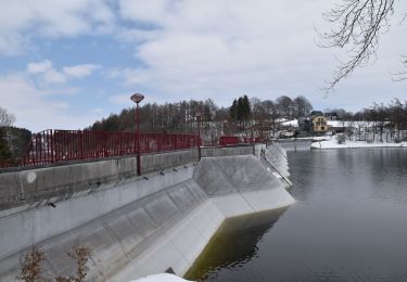
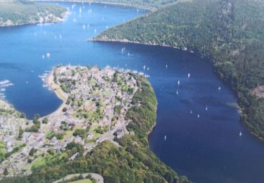
magnifique parcours le long du lac de Butgenbach et ensuite autour des villages avoisinants beaucoup de prairies avec des vaches de différentes couleurs
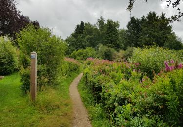
Marche
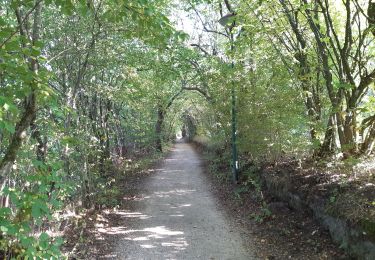
Marche
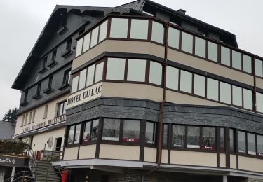
Marche
Marche
Marche

Marche
Marche
Marche
Marche