


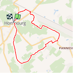


9,5 km | 12 km-effort

Randonnées de la Maison du Tourisme du Pays de Herve GUIDE+


Application GPS de randonnée GRATUITE
 SityTrail
IGN / Instituts géographiques
SityTrail World
Le monde est à vous
Randonnée Marche de 7,5 km à découvrir à Wallonie, Liège, Plombières. Cette randonnée est proposée par Maison du Tourisme du pays de Herve.
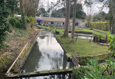
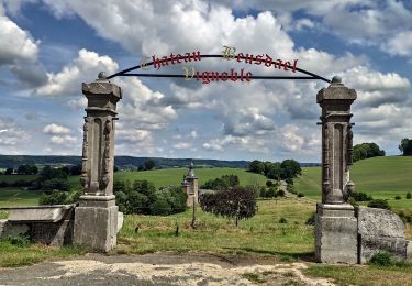
Tracé rural et forestier.

Marche

Marche

Marche

Marche
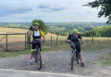
V.T.T.
Marche
V.T.T.
Marche

Marche
Une balade campagnarde offrant de magnifiques panoramas sur les 3 pays 🇧🇪🇩🇪🇳🇱, sur les 3 communautés de Belgique depuis le chemin de crête. Suivre le new Balisage 🟨