


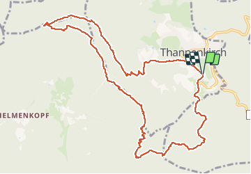

19,3 km | 24 km-effort


Utilisateur


Application GPS de randonnée GRATUITE
 SityTrail
IGN / Instituts géographiques
SityTrail World
Le monde est à vous
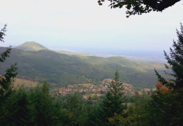
Randonnée Marche de 12,3 km à découvrir à Grand Est, Haut-Rhin, Thannenkirch. Cette randonnée est proposée par JCLUTT.
Très belle balade dans le massif du Taennchel avec tous les magnifiques points de vue sur le parcours et retour par le Melkerhof.
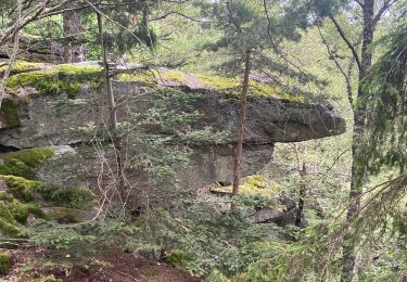
Montée très rude par l'ancien sentier qui n'est plus balisé jusqu'au rocher de la Paix d'Udine !


V.T.T.

Marche

Marche

sport
Marche
V.T.T.

Marche
Marche