


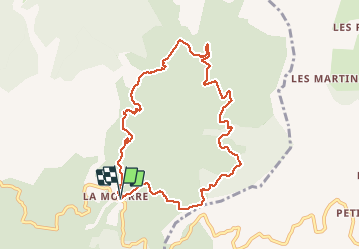


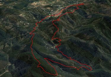
12,5 km | 19,3 km-effort

Utilisateur


Application GPS de randonnée GRATUITE
 SityTrail
IGN / Instituts géographiques
SityTrail World
Le monde est à vous
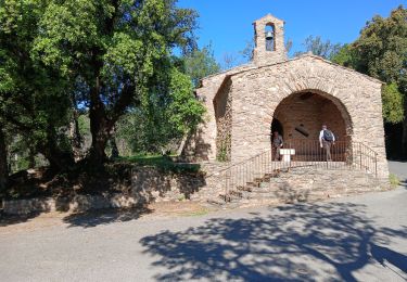
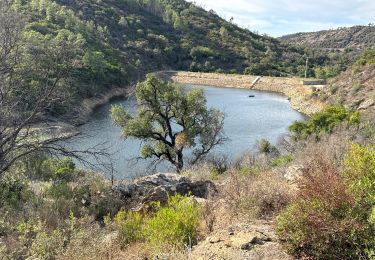
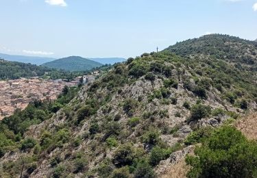
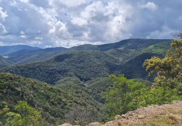
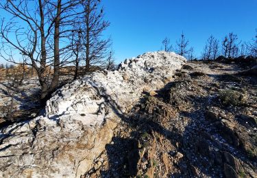
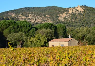
Randonnée Marche de 9,8 km à découvrir à Provence-Alpes-Côte d'Azur, Var, La Garde-Freinet. Cette randonnée est proposée par LBarel.
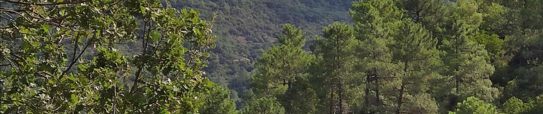
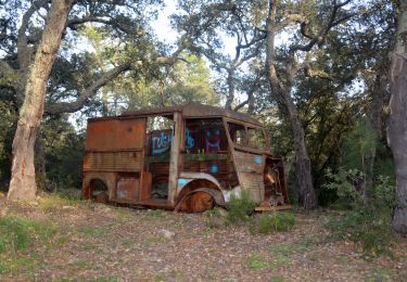
Une belle balade, tranquille et ouvrant sur de beaux horizons. Ça monte... Ça descend, mais sans difficulté particulière. Un chien aboyant mais peureux, qui défend son habitation perdue dans le massif.


Marche
Marche


sport
Marche
Marche
A pied
Vélo de route
Marche
Marche