


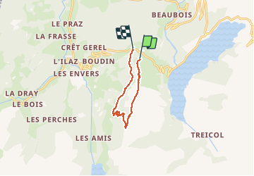


8,2 km | 17,9 km-effort

Utilisateur


Application GPS de randonnée GRATUITE
 SityTrail
IGN / Instituts géographiques
SityTrail World
Le monde est à vous
Randonnée Marche de 8,7 km à découvrir à Auvergne-Rhône-Alpes, Savoie, Beaufort. Cette randonnée est proposée par RD78-38.
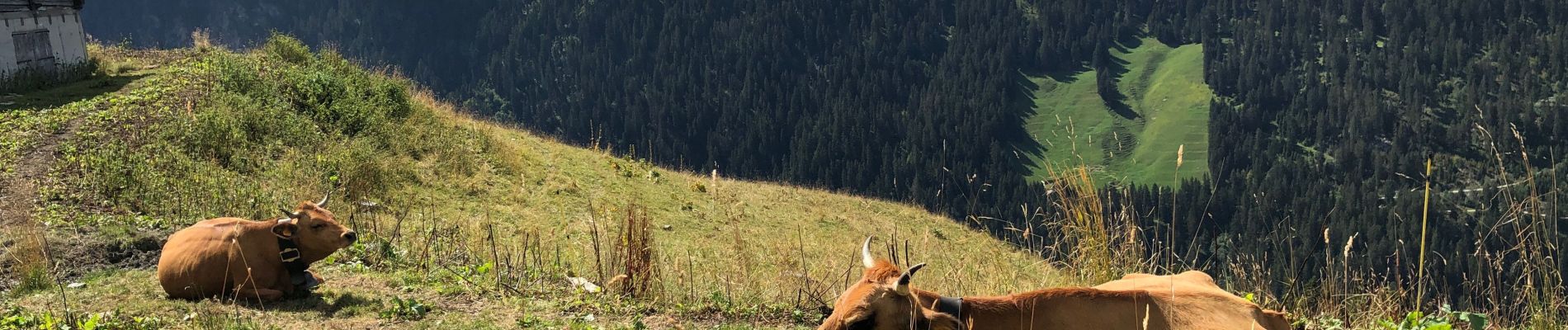
Superbe randonnée avec de très beaux paysages et si le temps est dégagé : en prime le MONT BLANC.


23 photos au total. Cliquez sur une photo pour les afficher toutes dans la galerie.

Marche

Marche

Marche

Ski de randonnée

Ski de randonnée

Marche

Marche

Marche

Marche