


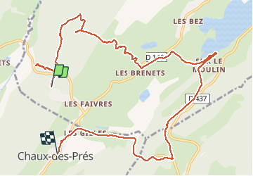

10,5 km | 13,9 km-effort

Utilisateur


Application GPS de randonnée GRATUITE
 SityTrail
IGN / Instituts géographiques
SityTrail World
Le monde est à vous
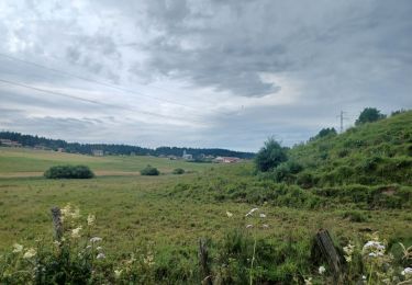
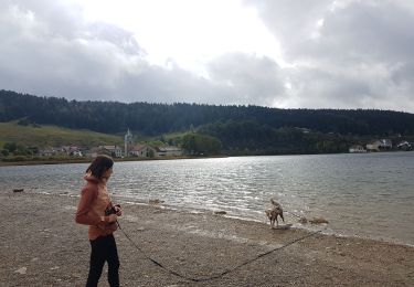
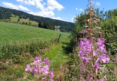
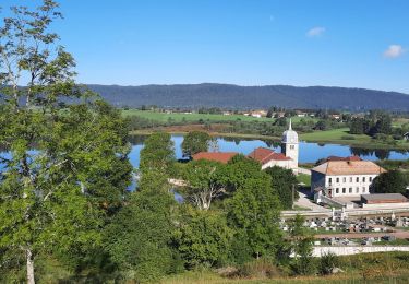
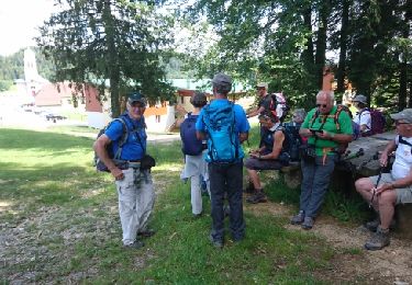
Randonnée Marche de 12,7 km à découvrir à Bourgogne-Franche-Comté, Jura, Grande-Rivière-Château. Cette randonnée est proposée par ayolia.
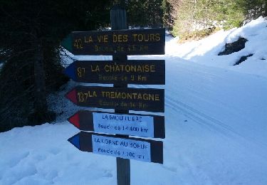
randonnée avec ane dans le Parc Naturel Regional du Haut Jura Location d ane chez Ane En Vadrouille 06 47 33 20 75


Marche
Marche
Marche

Trail
Marche
Marche
Marche
Marche
Raquettes à neige