


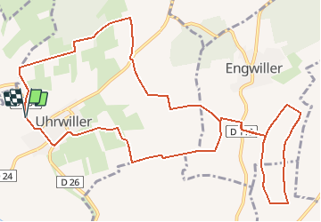

14,7 km | 20 km-effort


Utilisateur


Application GPS de randonnée GRATUITE
 SityTrail
IGN / Instituts géographiques
SityTrail World
Le monde est à vous
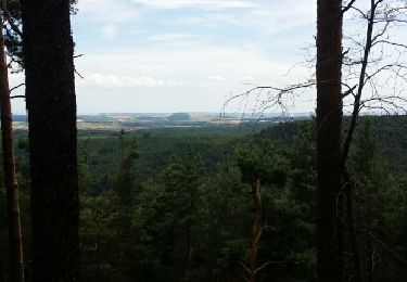
Randonnée Randonnée équestre de 13,7 km à découvrir à Grand Est, Bas-Rhin, Uhrwiller. Cette randonnée est proposée par celinearesi.
quelques bouts de chemins caillouteux mais de belles lignes droites enherbées

Randonnée équestre
Marche

Marche
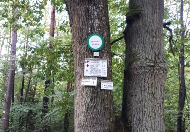
Randonnée équestre
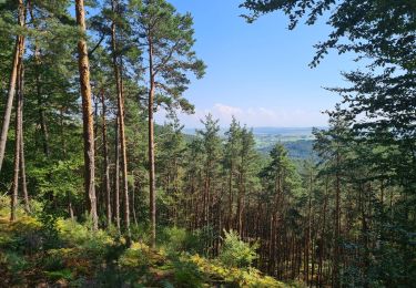
Randonnée équestre
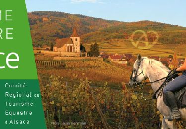
Randonnée équestre
Randonnée équestre