![](/images/other/stat-length.png)
![Randonnée V.T.T. Saint-Anthème - Descente barracuchet Montbrison - Photo](https://media.geolcdn.com/t/1900/400/2544011a-6e3c-42be-8ca9-7444665c9346.jpg&format=pjpeg&maxdim=2)
Descente barracuchet Montbrison
cyclopat42600
Utilisateur
![Longueur](/images/other/stat-length.png)
Longueur
30 km
![Altitude max](https://static1.geolcdn.com/siteimages/upload/files/1508320355ic_sort_altitude_max_24dp.png)
Altitude max
1386 m
![Dénivelé positif](https://static1.geolcdn.com/siteimages/upload/files/1508320355ic_sort_den_pos_24dp.png)
Dénivelé positif
233 m
![Km-Effort](/images/other/stat-length.png)
Km-Effort
36 km
![Altitude min](https://static1.geolcdn.com/siteimages/upload/files/1508320355ic_sort_altitude_min_24dp.png)
Altitude min
383 m
![Dénivelé négatif](https://static1.geolcdn.com/siteimages/upload/files/1508320355ic_sort_den_neg_24dp.png)
Dénivelé négatif
1119 m
![Boucle](https://static1.geolcdn.com/siteimages/upload/files/16400158638029165_repeat_loop_refresh_sync_direction_icon.png)
Boucle
Non
Date de création :
2020-08-18 07:54:13.685
Dernière modification :
2020-08-18 12:15:09.855
![V.T.T.](https://static1.geolcdn.com/sitytour/trail-icons/202.png)
2h36
Difficulté : Moyen
![Scannez ce code QR pour ouvrir la randonnée dans l'application SityTrail](https://capi.geolives.com/qq0zvz2zws4bq2lad0pu/sitytour/trails/2518747/qr.png?size=200)
Application GPS de randonnée GRATUITE
À propos
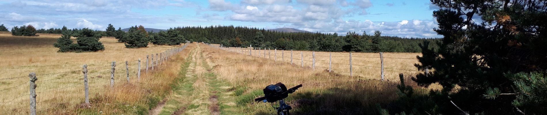
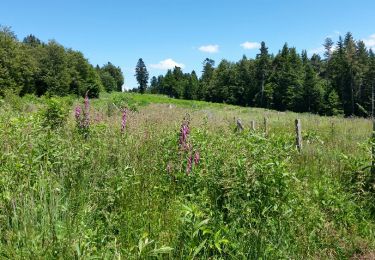
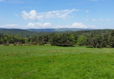
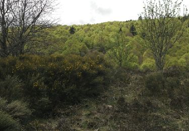
Randonnée V.T.T. de 30 km à découvrir à Auvergne-Rhône-Alpes, Puy-de-Dôme, Saint-Anthème. Cette randonnée est proposée par cyclopat42600.
Description
Très varié.... du roulant, du cassant, du technique, du mono trace, de la route.... mais c'est parceque ça descend que c'est facile.
Localisation
Pays :
France
Région :
Auvergne-Rhône-Alpes
Département/Province :
Puy-de-Dôme
Commune :
Saint-Anthème
Localité :
Unknown
Départ:(Dec)
Départ:(UTM)
572291 ; 5047590 (31T) N.
Commentaires
Randonnées à proximité
![Randonnée Marche Gumières - boucle du Col des Limites - Photo](https://media.geolcdn.com/t/375/260/ext.jpg?maxdim=2&url=https%3A%2F%2Fservices.sitytrail.com%2FGeolivesWS%2FDownloadMedia.ashx%3FTrailID%3D601087%26Media%3Dfix__20160710150459.jpg)
![Marche Marche](https://static1.geolcdn.com/sitytour/trail-icons/101.png)
boucle du Col des Limites
Marche
Facile
(2)
Gumières,
Auvergne-Rhône-Alpes,
Loire,
France
![](/images/other/stat-length.png)
11,8 km | 15,5 km-effort
2h 32min
![](https://static1.geolcdn.com/siteimages/upload/files/16400158638029165_repeat_loop_refresh_sync_direction_icon.png)
Oui
![Randonnée Marche Saint-Anthème - Col des Supeyres au départ du Coq noir - Photo](https://media.geolcdn.com/t/375/260/a5f589cb-cae4-4a52-a71d-8c519e83f668.jpg&format=jpg&maxdim=2)
![Marche Marche](https://static1.geolcdn.com/sitytour/trail-icons/101.png)
Col des Supeyres au départ du Coq noir
Marche
Difficile
(1)
Saint-Anthème,
Auvergne-Rhône-Alpes,
Puy-de-Dôme,
France
![](/images/other/stat-length.png)
13,4 km | 18,1 km-effort
3h 32min
![](https://static1.geolcdn.com/siteimages/upload/files/16400158638029165_repeat_loop_refresh_sync_direction_icon.png)
Oui
![Randonnée Marche Gumières - Boucle du col de Baracuchet - Photo](https://media.geolcdn.com/t/375/260/ext.jpg?maxdim=2&url=https%3A%2F%2Fservices.sitytrail.com%2FGeolivesWS%2FDownloadMedia.ashx%3FTrailID%3D575998%26Media%3Dfix__20160528113655.jpg)
![Marche Marche](https://static1.geolcdn.com/sitytour/trail-icons/101.png)
Boucle du col de Baracuchet
Marche
Facile
Gumières,
Auvergne-Rhône-Alpes,
Loire,
France
![](/images/other/stat-length.png)
14,3 km | 18,2 km-effort
3h 11min
![](https://static1.geolcdn.com/siteimages/upload/files/16400158638029165_repeat_loop_refresh_sync_direction_icon.png)
Oui
![Randonnée Marche Saint-Anthème - Les Hautes Chaumes - Saint Anthème - Photo](https://media.geolcdn.com/t/375/260/ext.jpg?maxdim=2&url=https%3A%2F%2Fservices.sitytrail.com%2FGeolivesWS%2FDownloadMedia.ashx%3FTrailID%3D112632%26Media%3D11274_6.jpg)
![Marche Marche](https://static1.geolcdn.com/sitytour/trail-icons/101.png)
Les Hautes Chaumes - Saint Anthème
Marche
Difficile
Saint-Anthème,
Auvergne-Rhône-Alpes,
Puy-de-Dôme,
France
![](/images/other/stat-length.png)
10 km | 13,5 km-effort
3h 15min
![](https://static1.geolcdn.com/siteimages/upload/files/16400158638029165_repeat_loop_refresh_sync_direction_icon.png)
Oui
![Randonnée Marche Saint-Anthème - Hautes chaumes jacquerie le coq noir - Photo](https://media.geolcdn.com/t/375/260/a330f319-8dde-481f-8aae-8a4842a1ddb5.jpg&format=jpg&maxdim=2)
![Marche Marche](https://static1.geolcdn.com/sitytour/trail-icons/101.png)
Hautes chaumes jacquerie le coq noir
Marche
Facile
Saint-Anthème,
Auvergne-Rhône-Alpes,
Puy-de-Dôme,
France
![](/images/other/stat-length.png)
13,7 km | 18,3 km-effort
4h 2min
![](https://static1.geolcdn.com/siteimages/upload/files/16400158638029165_repeat_loop_refresh_sync_direction_icon.png)
Oui
![Randonnée Ski de fond Saint-Anthème - Plan chevalat - Photo](https://media.geolcdn.com/t/375/260/c87c1bba-9c31-4ed6-932c-7ca09c13a607.jpg&format=jpg&maxdim=2)
![Ski de fond Ski de fond](https://static1.geolcdn.com/sitytour/trail-icons/502.png)
Plan chevalat
Ski de fond
Moyen
Saint-Anthème,
Auvergne-Rhône-Alpes,
Puy-de-Dôme,
France
![](/images/other/stat-length.png)
7,9 km | 10,1 km-effort
1h 27min
![](https://static1.geolcdn.com/siteimages/upload/files/16400158638029165_repeat_loop_refresh_sync_direction_icon.png)
Oui
![Randonnée Marche Gumières - col H Mort - Photo](https://media.geolcdn.com/t/375/260/ext.jpg?maxdim=2&url=https%3A%2F%2Fservices.sitytrail.com%2FGeolivesWS%2FDownloadMedia.ashx%3FTrailID%3D776406%26Media%3D20170620171756.jpg)
![Marche Marche](https://static1.geolcdn.com/sitytour/trail-icons/101.png)
col H Mort
Marche
Facile
Gumières,
Auvergne-Rhône-Alpes,
Loire,
France
![](/images/other/stat-length.png)
8,4 km | 11,3 km-effort
2h 3min
![](https://static1.geolcdn.com/siteimages/upload/files/16400158638029165_repeat_loop_refresh_sync_direction_icon.png)
Oui
![Randonnée Marche Saint-Anthème - jasserie du coq noir - Photo](https://media.geolcdn.com/t/375/260/ext.jpg?maxdim=2&url=https%3A%2F%2Fservices.sitytrail.com%2FGeolivesWS%2FDownloadMedia.ashx%3FTrailID%3D427623%26Media%3Dfix__20150509134733.jpg)
![Marche Marche](https://static1.geolcdn.com/sitytour/trail-icons/101.png)
jasserie du coq noir
Marche
Facile
Saint-Anthème,
Auvergne-Rhône-Alpes,
Puy-de-Dôme,
France
![](/images/other/stat-length.png)
13,3 km | 18 km-effort
4h 26min
![](https://static1.geolcdn.com/siteimages/upload/files/16400158638029165_repeat_loop_refresh_sync_direction_icon.png)
Oui
![Randonnée Marche Gumières - conol - Photo](https://media.geolcdn.com/t/375/260/ext.jpg?maxdim=2&url=https%3A%2F%2Fstatic1.geolcdn.com%2Fsiteimages%2Fupload%2Ffiles%2F1553511878bg_sport_marche.png)
![Marche Marche](https://static1.geolcdn.com/sitytour/trail-icons/101.png)
conol
Marche
Très facile
Gumières,
Auvergne-Rhône-Alpes,
Loire,
France
![](/images/other/stat-length.png)
9,6 km | 12,3 km-effort
2h 30min
![](https://static1.geolcdn.com/siteimages/upload/files/16400158638029165_repeat_loop_refresh_sync_direction_icon.png)
Oui