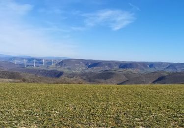
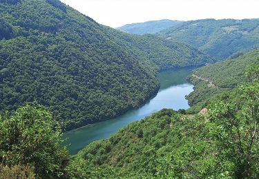
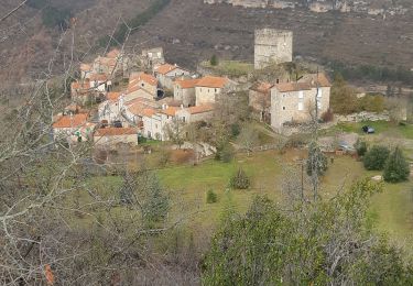
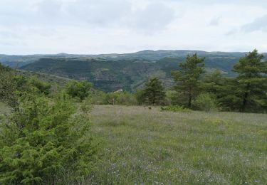
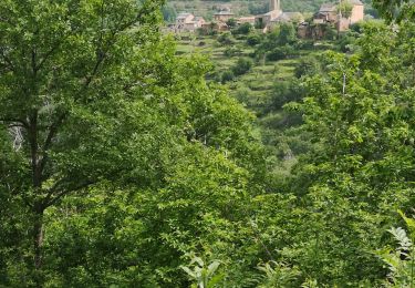
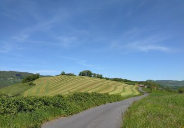
Randonnée V.T.T. Saint-Rome-de-Tarn - puech gazal cadenede - Photo
 ZITO12
ZITO12

Utilisateur

© OpenStreetMap contributors
Longueur
Longueur
18,1 km
Altitude max
Altitude max
643 m
Dénivelé positif
Dénivelé positif
426 m
Km-Effort
Km-Effort  
24 km
Altitude min
Altitude min
321 m
Dénivelé négatif
Dénivelé négatif
425 m
Boucle
Boucle
Oui
Date de création :
2020-08-18 06:27:54.079
Dernière modification :
2020-08-18 07:58:48.374

(1 Avis)

V.T.T.
V.T.T.
1h30
Difficulté : Facile

Scannez ce code QR pour ouvrir la randonnée dans l'application SityTrail

Application GPS de randonnée GRATUITE

Logo SityTrail SityTrail

IGN / Instituts géographiques

Télécharger SityTrail sur l'App Store Télécharger SityTrail sur Google Play

Logo SityTrail SityTrail World

Le monde est à vous

Télécharger SityTrail sur l'App Store Télécharger SityTrail sur Google Play Télécharger SityTrail sur Huawei AppGallery

À propos

Randonnée V.T.T. de 18,1 km à découvrir à Occitanie, Aveyron, Saint-Rome-de-Tarn. Cette randonnée est proposée par ZITO12.

Profil altimétrique

Localisation

Pays :
France
Région :
Occitanie
Département/Province :
Aveyron
Commune :
Saint-Rome-de-Tarn
Localité :
Unknown
Départ:(UTM)
491842 ; 4877373 (31T) N.

Commentaires

Veuillez vous connecter pour laisser un commentaire ou une note


randonnée notée facile, il n'y a que de la grosse montée et arrivé vers un chemin qui descend sentier barré et grillagé. étant novice je déconseille fortement cette randonnée VTT. sauf si vous avez un vttae


Randonnées à proximité

Randonnée Marche Montjaux - Concoules Montjaux  - Photo
Marche
ZITO12

Marche

Facile
Montjaux, Occitanie, Aveyron, France
10,8 km | 14,7 km-effort
3h 10min
Oui
Randonnée Marche Saint-Rome-de-Tarn - Au long du Tarn: de St-Rome-de-Tarn à Ayssènes - Photo
Marche
canardDenis

Marche

Difficile
Saint-Rome-de-Tarn, Occitanie, Aveyron, France
22 km | 35 km-effort
7h 53min
Non
Randonnée Marche Saint-Rome-de-Tarn - Saint Rome de Tarn - Photo
Marche
yvesmonteillet

Marche

Difficile
Saint-Rome-de-Tarn, Occitanie, Aveyron, France
11,2 km | 15,7 km-effort
3h 14min
Oui
Randonnée V.T.C. Saint-Rome-de-Tarn - Le crayon - Photo
V.T.C.
ZITO12

V.T.C.

Moyen
Saint-Rome-de-Tarn, Occitanie, Aveyron, France
44 km | 58 km-effort
4h 14min
Oui
Randonnée V.T.T. Saint-Rome-de-Tarn - Relais st Rome petit tour  - Photo
V.T.T.
ZITO12

V.T.T.

Facile
Saint-Rome-de-Tarn, Occitanie, Aveyron, France
10,4 km | 14,6 km-effort
57min
Oui
Randonnée Vélo de route Saint-Rome-de-Tarn - Raspes du Tarn Pinet  - Photo
Vélo de route
ZITO12

Vélo de route

Moyen
Saint-Rome-de-Tarn, Occitanie, Aveyron, France
33 km | 44 km-effort
4h 13min
Oui
Randonnée Vélo de route Saint-Rome-de-Tarn - castelnau Pegairolles - Photo
Vélo de route
ZITO12

Vélo de route

Facile
Saint-Rome-de-Tarn, Occitanie, Aveyron, France
47 km | 59 km-effort
3h 39min
Oui
Randonnée Marche Viala-du-Tarn - Via la du Tarn - Photo
Marche
machafla

Marche

Très facile
Viala-du-Tarn, Occitanie, Aveyron, France
14,1 km | 19,6 km-effort
4h 0min
Oui
Randonnée Vélo électrique Saint-Rome-de-Tarn - St Victor Genève st Etienne carotte roubiere truelle St Victor  - Photo
Vélo électrique
ZITO12

Vélo électrique

Difficile
(1)
Saint-Rome-de-Tarn, Occitanie, Aveyron, France
60 km | 82 km-effort
6h 41min
Oui


Fermer
Mes abonnements