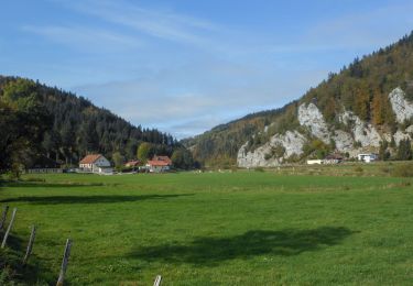
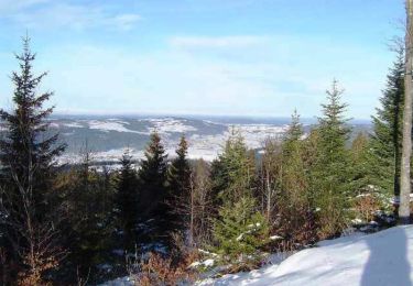
15,1 km | 20 km-effort
Gilley 13 août 2020 CAF
TRIMAILLE
Utilisateur
Longueur
21 km
Altitude max
1089 m
Dénivelé positif
419 m
Km-Effort
27 km
Altitude min
854 m
Dénivelé négatif
418 m
Boucle
Oui
Date de création :
2020-08-13 06:48:16.995
Dernière modification :
2020-09-02 12:26:39.779
6h25
Difficulté : Difficile
Application GPS de randonnée GRATUITE
À propos
Randonnée Marche de 21 km à découvrir à Bourgogne-Franche-Comté, Doubs, Gilley. Cette randonnée est proposée par TRIMAILLE.
Localisation
Pays :
France
Région :
Bourgogne-Franche-Comté
Département/Province :
Doubs
Commune :
Gilley
Localité :
Unknown
Départ:(Dec)
Départ:(UTM)
309509 ; 5213695 (32T) N.
Commentaires
Randonnées à proximité
Remonot 8 octobre 2020 CAF
Marche
Difficile
Les Combes,
Bourgogne-Franche-Comté,
Doubs,
France
21 km | 32 km-effort
6h 44min
Oui
Espace VTT FFC Val de Morteau - Circuit n° 86 - La Motte variante
V.T.T.
Difficile
(1)
Les Combes,
Bourgogne-Franche-Comté,
Doubs,
France
21 km | 27 km-effort
2h 0min
Oui
Vélo au sauverais
Cyclotourisme
Difficile
(1)
Gilley,
Bourgogne-Franche-Comté,
Doubs,
France
27 km | 33 km-effort
2h 25min
Non
gilley
Marche
Moyen
Gilley,
Bourgogne-Franche-Comté,
Doubs,
France
21 km | 27 km-effort
5h 19min
Oui
boucle 86 Morteau
V.T.T.
Difficile
Les Combes,
Bourgogne-Franche-Comté,
Doubs,
France
31 km | 42 km-effort
3h 10min
Oui
ski colo
Autre activité
Très facile
Les Combes,
Bourgogne-Franche-Comté,
Doubs,
France
7,7 km | 10,1 km-effort
Inconnu
Oui
GTJ_E04 Les combes > Pontarlier
Randonnée équestre
Très difficile
Les Combes,
Bourgogne-Franche-Comté,
Doubs,
France
32 km | 41 km-effort
5h 25min
Non
Farah
V.T.T.
Facile
Les Combes,
Bourgogne-Franche-Comté,
Doubs,
France
40 km | 53 km-effort
3h 24min
Oui