


57 km | 84 km-effort


Utilisateur


Application GPS de randonnée GRATUITE
 SityTrail
IGN / Instituts géographiques
SityTrail World
Le monde est à vous
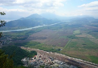
Randonnée V.T.T. de 27 km à découvrir à Auvergne-Rhône-Alpes, Ain, Culoz. Cette randonnée est proposée par jeannot01.
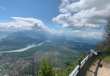
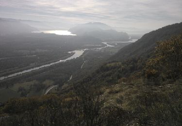
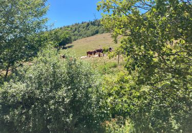
Encore une très belle rando dans des paysages magnifiques et en hauteur pour être au frais.
Rando plus homogène par rapport à la rando Le fénestré /Surlyand/le Gd colombier car on évite la partie technique entre Les platières et le col de charbenènes.
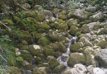
Tout ce fait sur le vélo si on fait la rando dans ce sens.
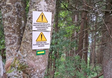
Rando coté difficile à cause du dénivelé
Marche

sport
V.T.C.
Marche
Marche
Marche
Marche

Marche
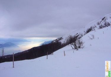
Raquettes à neige