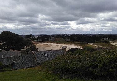
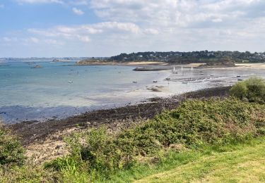
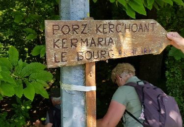
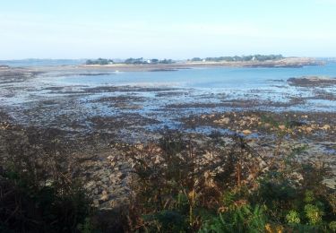
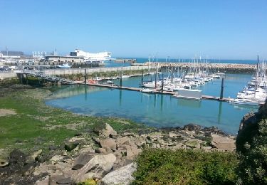
23 km | 28 km-effort
Plougasnou.11082020
aucamus
Utilisateur
Longueur
17,5 km
Altitude max
65 m
Dénivelé positif
191 m
Km-Effort
20 km
Altitude min
0 m
Dénivelé négatif
192 m
Boucle
Oui
Date de création :
2020-08-11 09:34:00.958
Dernière modification :
2020-08-11 16:03:07.448
3h52
Difficulté : Très facile
Application GPS de randonnée GRATUITE
À propos
Randonnée Marche de 17,5 km à découvrir à Bretagne, Finistère, Plougasnou. Cette randonnée est proposée par aucamus.
Localisation
Pays :
France
Région :
Bretagne
Département/Province :
Finistère
Commune :
Plougasnou
Localité :
Unknown
Départ:(Dec)
Départ:(UTM)
437426 ; 5391948 (30U) N.
Commentaires
Randonnées à proximité
le frout - ile calot 23,km
Autre activité
Très facile
(2)
Carantec,
Bretagne,
Finistère,
France
6h 4min
Oui
Bretagne nord J5 De Plougasnou à Guimaec
Marche
Difficile
Plougasnou,
Bretagne,
Finistère,
France
21 km | 29 km-effort
5h 51min
Non
30.08.23 Carantec -- Roscoff
Marche
Très difficile
Carantec,
Bretagne,
Finistère,
France
23 km | 26 km-effort
5h 54min
Non
Tour de l'île Callot
Marche
Facile
Carantec,
Bretagne,
Finistère,
France
9,9 km | 11,4 km-effort
3h 9min
Oui
Térénez-Barnenez
Marche
Moyen
Plougasnou,
Bretagne,
Finistère,
France
14,4 km | 17,4 km-effort
3h 16min
Oui
Plouezoc'h - La vallée maritime du Dourduff
Marche
Moyen
Plouezoc'h,
Bretagne,
Finistère,
France
8,3 km | 10,1 km-effort
2h 59min
Oui
Tour de Carantec
Marche
Moyen
Carantec,
Bretagne,
Finistère,
France
15,9 km | 19,6 km-effort
3h 59min
Oui
GR 34 étape 25
Marche
Facile
Carantec,
Bretagne,
Finistère,
France
38 km | 44 km-effort
9h 38min
Non
GR 34 étape 23
Marche
Facile
Plougasnou,
Bretagne,
Finistère,
France
24 km | 29 km-effort
7h 0min
Non