


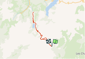

8,6 km | 12 km-effort


Utilisateur


Application GPS de randonnée GRATUITE
 SityTrail
IGN / Instituts géographiques
SityTrail World
Le monde est à vous
Randonnée Vélo électrique de 32 km à découvrir à Auvergne-Rhône-Alpes, Savoie, Aime-la-Plagne. Cette randonnée est proposée par franquen.
En partant de Laval, très belle piste menant au refuge de la Coire. magnifiques points de vue de part et d'autre du Cormet d'Arêches dont le lac de St Guerin côté beaufortin.
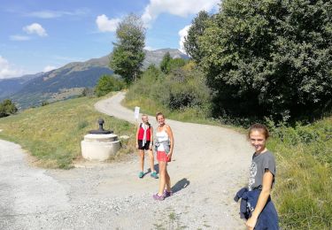
Marche

Marche

Marche

Marche
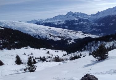
Ski de randonnée

Ski de randonnée
Marche

Raquettes à neige

Marche