


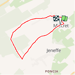


4,1 km | 4,9 km-effort

Destination Condroz-Famenne- une nature préservée PRO


Application GPS de randonnée GRATUITE
 SityTrail
IGN / Instituts géographiques
SityTrail World
Le monde est à vous
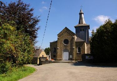
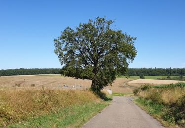
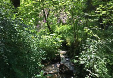
Randonnée Marche de 6,2 km à découvrir à Wallonie, Namur, Havelange. Cette randonnée est proposée par Vallées des Saveurs - Maison du Tourisme Condroz-Famenne.
Les incontournables:
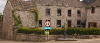
- Mes Aventures d'Enchanteur
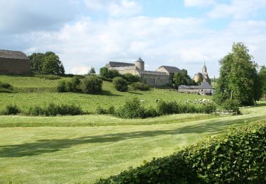
- La chapelle Saint-Donat
- Les Bornes Fontaines


Marche
Marche
Marche

Marche
Marche

Marche
Marche

Vélo
Marche