


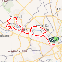


9,6 km | 10,6 km-effort


Utilisateur


Application GPS de randonnée GRATUITE
 SityTrail
IGN / Instituts géographiques
SityTrail World
Le monde est à vous
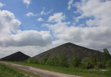
Randonnée V.T.T. de 15,6 km à découvrir à Hauts-de-France, Pas-de-Calais, Sainte-Catherine. Cette randonnée est proposée par capinsolite.
Au départ de l'agence de voyages Cap Insolite, une petite heure de ballade facile... en VTT. Du GR 121 au GR 127.


Marche
Marche

A pied

Marche
Marche
Marche
Marche
Marche
Marche