


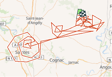


62 km | 68 km-effort


Utilisateur


Application GPS de randonnée GRATUITE
 SityTrail
IGN / Instituts géographiques
SityTrail World
Le monde est à vous
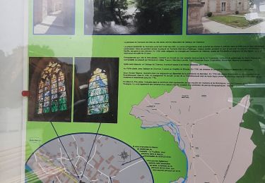
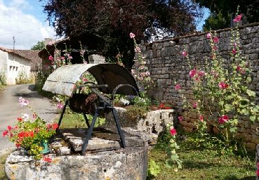
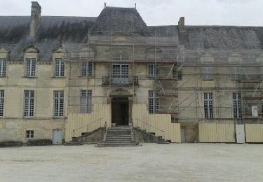
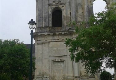
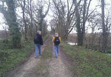
Randonnée A pied de 474 km à découvrir à Nouvelle-Aquitaine, Charente-Maritime, Fontaine-Chalendray. Cette randonnée est proposée par vindju.
V.T.T.
Marche
Marche
Marche

Marche
Marche
Marche
Marche
Marche