


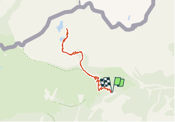

11,6 km | 19,6 km-effort


Utilisateur


Application GPS de randonnée GRATUITE
 SityTrail
IGN / Instituts géographiques
SityTrail World
Le monde est à vous
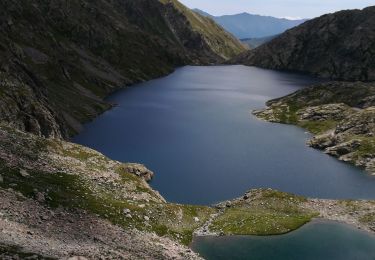
Randonnée Marche de 8 km à découvrir à Provence-Alpes-Côte d'Azur, Alpes-Maritimes, Tende. Cette randonnée est proposée par bozo1970.
Randonnée peu intéressante sur la fin du parcours, les lacs sont peu accessibles.
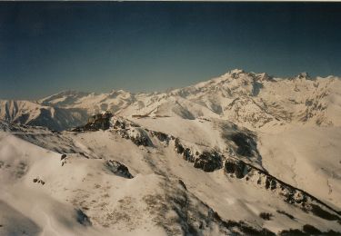
Les sommets environnant présentent plus d’intérêt.

Marche

A pied

Marche

Marche

Marche
Marche
Marche
Marche