


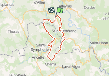

17,4 km | 24 km-effort


Utilisateur


Application GPS de randonnée GRATUITE
 SityTrail
IGN / Instituts géographiques
SityTrail World
Le monde est à vous
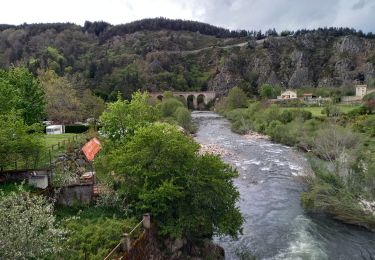
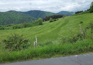
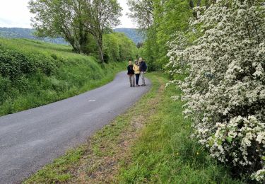
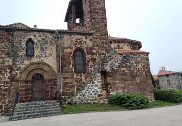
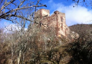
Randonnée V.T.T. de 27 km à découvrir à Auvergne-Rhône-Alpes, Haute-Loire, Alleyras. Cette randonnée est proposée par jm.lemore.
parcours très joli et roulant.
Pas de grosses difficultés techniques.
quelques descentes très sympa.
un très beau parcours.
le temps est indiqué en VTTAE
Marche
Marche
Marche
Marche

A pied
V.T.T.

Marche

V.T.T.
Marche