


12,6 km | 21 km-effort

Utilisateur


Application GPS de randonnée GRATUITE
 SityTrail
IGN / Instituts géographiques
SityTrail World
Le monde est à vous
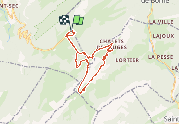
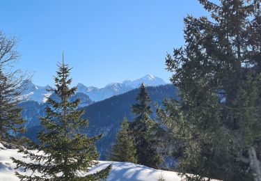
Randonnée Marche de 15,3 km à découvrir à Auvergne-Rhône-Alpes, Haute-Savoie, Fillière. Cette randonnée est proposée par djeepee74.
BOUCLE... live le 20200801
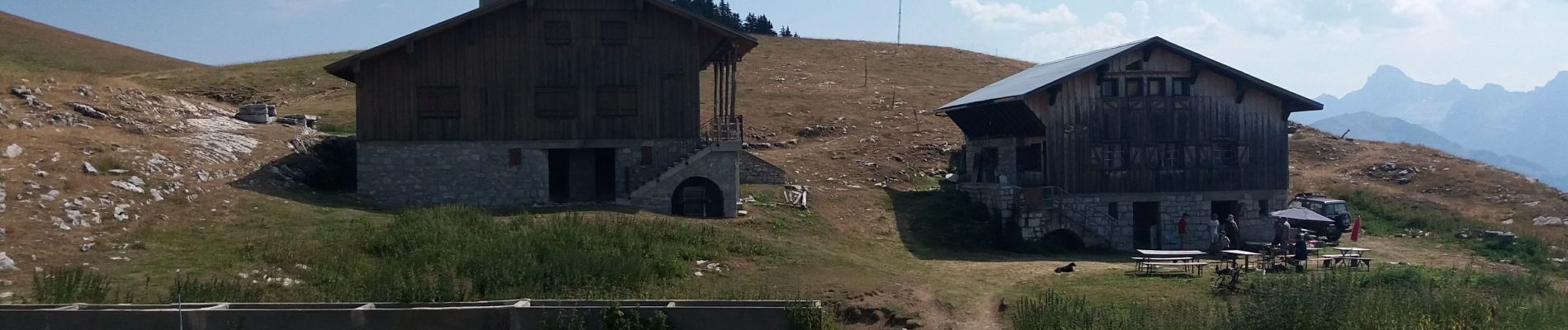
En saison, aux environs du chalet de l'Ovine, des brebis sont en alpage, gardées par des patous... Contournez les troupeaux pour ne pas "contrarier" leurs chiens.
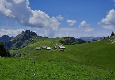
La trace du sentier qui descend du chalet de l'Ovine jusqu'à rejoindre la piste qui remonte aux chalets des Auges, n'est pas évidente... mais ça passe partout dans les prairies. Autre possibilité: descendre jusqu'au col de la Buffaz.


Marche

Marche

Marche
Marche
Marche
Marche
Marche
Marche
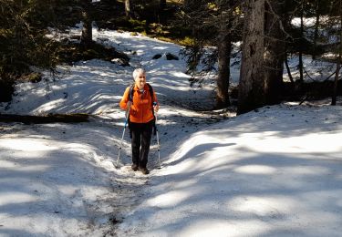
Raquettes à neige