

DEPUIS LE CAMPING DU GALIER

walrou63
Utilisateur

Longueur
13,1 km

Altitude max
1042 m

Dénivelé positif
306 m

Km-Effort
17,2 km

Altitude min
919 m

Dénivelé négatif
306 m
Boucle
Oui
Date de création :
2020-07-31 06:12:35.359
Dernière modification :
2020-08-08 12:58:00.104
2h55
Difficulté : Moyen

Application GPS de randonnée GRATUITE
À propos
Randonnée Marche de 13,1 km à découvrir à Occitanie, Lozère, Fontans. Cette randonnée est proposée par walrou63.
Description
Départ du camping Le Galier, pour rejoindre le GR65 jusqu'aux ESTREES puis retour en boucle en suivant la Truyère et reprendre le GR65 à l'envers pour rejoindre le camping.
Localisation
Pays :
France
Région :
Occitanie
Département/Province :
Lozère
Commune :
Fontans
Localité :
Unknown
Départ:(Dec)
Départ:(UTM)
529421 ; 4957999 (31T) N.
Commentaires
Randonnées à proximité
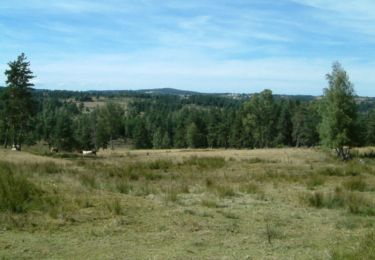
Les Estrets - Les 4 Chemins - Chemin de Compostelle


Marche
Très difficile
(1)
Fontans,
Occitanie,
Lozère,
France

18,6 km | 24 km-effort
4h 40min
Non
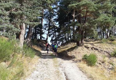
DONNEPEAU


Marche
Facile
Saint-Alban-sur-Limagnole,
Occitanie,
Lozère,
France

4,6 km | 6,5 km-effort
1h 24min
Oui

LA LIMAGNOLE


Marche
Moyen
Saint-Alban-sur-Limagnole,
Occitanie,
Lozère,
France

9,2 km | 13,4 km-effort
2h 57min
Oui

Étape 4


Marche
Moyen
Saint-Alban-sur-Limagnole,
Occitanie,
Lozère,
France

22 km | 28 km-effort
5h 29min
Non
Étape 4


Marche
Moyen
Saint-Alban-sur-Limagnole,
Occitanie,
Lozère,
France

22 km | 28 km-effort
5h 29min
Non
Les Faux - Aumont-Aubrac


Marche
Moyen
Saint-Alban-sur-Limagnole,
Occitanie,
Lozère,
France

22 km | 28 km-effort
5h 57min
Non
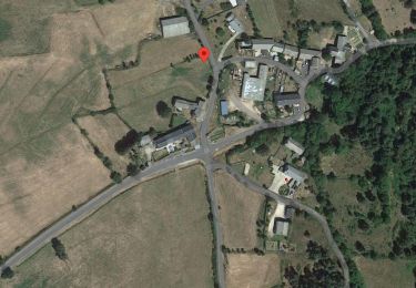
La Cascade du Franquet lundi


Marche
Facile
Saint-Alban-sur-Limagnole,
Occitanie,
Lozère,
France

3,3 km | 5,6 km-effort
1h 16min
Oui
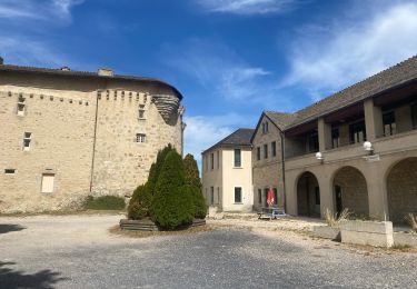
Fait GTMC 2022 E1 2,5 b


V.T.T.
Moyen
Rimeize,
Occitanie,
Lozère,
France

45 km | 58 km-effort
6h 16min
Non

les faux à au mont sur aubrac


Marche
Moyen
Saint-Alban-sur-Limagnole,
Occitanie,
Lozère,
France

24 km | 30 km-effort
5h 11min
Non


 SityTrail


