
Nancy Matin Laneuveville Nancy

Toyot 8
Utilisateur

Longueur
46 km

Altitude max
417 m

Dénivelé positif
477 m

Km-Effort
52 km

Altitude min
190 m

Dénivelé négatif
477 m
Boucle
Oui
Date de création :
2020-07-29 03:02:04.182
Dernière modification :
2020-07-29 12:16:01.422
8h13
Difficulté : Facile

Application GPS de randonnée GRATUITE
À propos
Randonnée Marche de 46 km à découvrir à Grand Est, Meurthe-et-Moselle, Nancy. Cette randonnée est proposée par Toyot 8.
Description
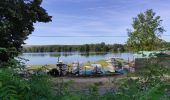
Nancy Maron par la forêt de Haye, puis Neuves-Maisons par le bord de la Moselle, Laneuveville par le bord du canal de contournement, enfin Nancy par la rive du canal de la Marne au Rhin
Localisation
Pays :
France
Région :
Grand Est
Département/Province :
Meurthe-et-Moselle
Commune :
Nancy
Localité :
Unknown
Départ:(Dec)
Départ:(UTM)
291629 ; 5397233 (32U) N.
Commentaires
Randonnées à proximité

Circuit du Val Saint-Barthélémy


A pied
Facile
Champigneulles,
Grand Est,
Meurthe-et-Moselle,
France

7 km | 8,6 km-effort
1h 57min
Oui

Circuit du Noirval


A pied
Facile
Champigneulles,
Grand Est,
Meurthe-et-Moselle,
France

11,1 km | 13,5 km-effort
3h 4min
Oui

Ma dernière avant opération


Marche
Très difficile
(1)
Nancy,
Grand Est,
Meurthe-et-Moselle,
France

22 km | 25 km-effort
4h 12min
Oui

Randonnée USEP 2023


Marche
Difficile
(1)
Vandœuvre-lès-Nancy,
Grand Est,
Meurthe-et-Moselle,
France

11,7 km | 15,2 km-effort
3h 27min
Non
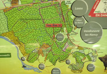
Ma rando du jour


Marche
Difficile
Nancy,
Grand Est,
Meurthe-et-Moselle,
France

35 km | 41 km-effort
5h 55min
Oui
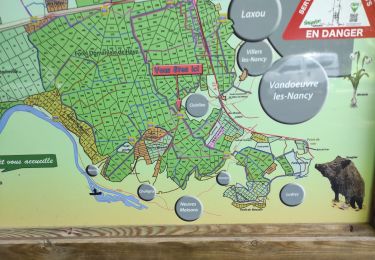
Nancy Gondreville Nancy


Marche
Difficile
Nancy,
Grand Est,
Meurthe-et-Moselle,
France

64 km | 74 km-effort
10h 57min
Oui
Nancy Saizeray Jaillon Pierre la Treiche Marion Nancy


Marche
Difficile
Nancy,
Grand Est,
Meurthe-et-Moselle,
France

73 km | 85 km-effort
12h 13min
Oui

RANDO DUO AVEC ALEXIS


Marche
Difficile
(1)
Villers-lès-Nancy,
Grand Est,
Meurthe-et-Moselle,
France

38 km | 45 km-effort
10h 19min
Non

Circuit G : Circuit principal


A pied
Facile
Champigneulles,
Grand Est,
Meurthe-et-Moselle,
France

8,4 km | 11,1 km-effort
2h 31min
Non


 SityTrail


