


18,6 km | 24 km-effort


Utilisateur GUIDE


Application GPS de randonnée GRATUITE
 SityTrail
IGN / Instituts géographiques
SityTrail World
Le monde est à vous
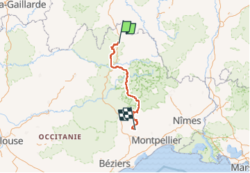
Randonnée Marche de 223 km à découvrir à Occitanie, Lozère, Peyre en Aubrac. Cette randonnée est proposée par Kargil.
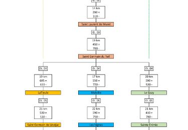
Tracé de base avec étapes plus courtes au départ.
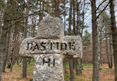
13 étapes en passant par Le Gazy, Ste Eninie et Drigas.
Le détail de chaque étape et 2 autres variantes sont publiées
Le synoptique joint en photo donne un aperçu des tracés
Enfin, il est temps de retourner à Aumont-Aubrac. La meilleure façon est d’utiliser les services de la Malle Postale (transports bagages et passagers) : www.lamallepostale.com.
Et pour rejoindre Montpellier TGV, ligne 668 de Hérault transports : www.herault-transport.fr


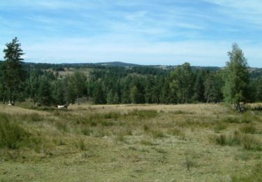
Marche
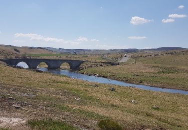
Marche

Marche
Marche
Marche
Marche
Marche
Voiture
Marche