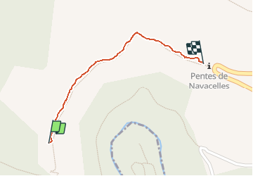

10,6 km | 14,5 km-effort


Utilisateur


Application GPS de randonnée GRATUITE
 SityTrail
IGN / Instituts géographiques
SityTrail World
Le monde est à vous
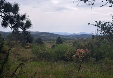
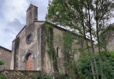
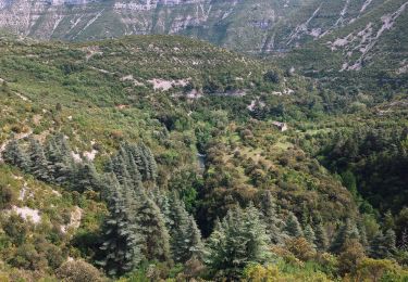
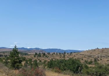
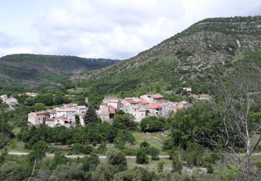
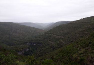
Randonnée Marche de 571 m à découvrir à Occitanie, Gard, Blandas. Cette randonnée est proposée par labarone.
enregistre pour reconnaître l entree du sentier le court pour accéder au moulin de la foux (navette gratuite venant de navacelle possible)
Marche
Marche
A pied
A pied
Marche
Marche
Marche

Marche