


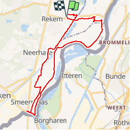

18,9 km | 22 km-effort


Utilisateur


Application GPS de randonnée GRATUITE
 SityTrail
IGN / Instituts géographiques
SityTrail World
Le monde est à vous
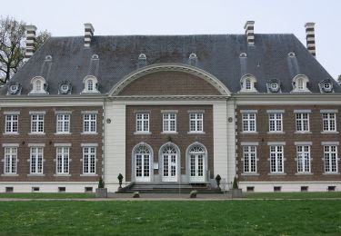
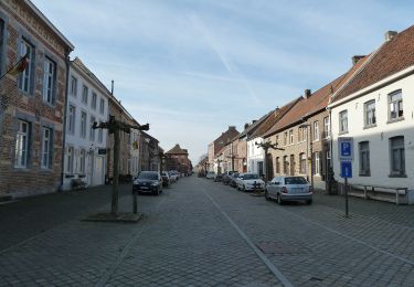
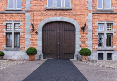
Randonnée Marche de 16,3 km à découvrir à Flandre, Limbourg, Lanaken. Cette randonnée est proposée par flip96.
Rondwandeling vanuit Oud-Rekem. Eenvoudige, volledig vlakke wandeling langs grensmaas naar Smeermaas en weer terug naar Oud-Rekem.
Opmerkingen? flip96@home.nl
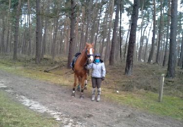
Randonnée équestre
A pied
A pied
A pied
A pied
A pied
A pied
A pied
A pied