![](/images/other/stat-length.png)
![Randonnée Vélo électrique Faverges-Seythenex - Chalet de la Servaz - Photo](https://media.geolcdn.com/t/1900/400/ext.pjpeg?maxdim=2&url=https%3A%2F%2Fstatic1.geolcdn.com%2Fsiteimages%2Fupload%2Ffiles%2F1524743154velo.jpg)
Chalet de la Servaz
franquen
Utilisateur
![Longueur](/images/other/stat-length.png)
Longueur
15,5 km
![Altitude max](https://static1.geolcdn.com/siteimages/upload/files/1508320355ic_sort_altitude_max_24dp.png)
Altitude max
1488 m
![Dénivelé positif](https://static1.geolcdn.com/siteimages/upload/files/1508320355ic_sort_den_pos_24dp.png)
Dénivelé positif
893 m
![Km-Effort](/images/other/stat-length.png)
Km-Effort
27 km
![Altitude min](https://static1.geolcdn.com/siteimages/upload/files/1508320355ic_sort_altitude_min_24dp.png)
Altitude min
769 m
![Dénivelé négatif](https://static1.geolcdn.com/siteimages/upload/files/1508320355ic_sort_den_neg_24dp.png)
Dénivelé négatif
888 m
![Boucle](https://static1.geolcdn.com/siteimages/upload/files/16400158638029165_repeat_loop_refresh_sync_direction_icon.png)
Boucle
Oui
Date de création :
2020-07-20 07:32:48.787
Dernière modification :
2020-07-20 16:19:38.597
![Vélo électrique](https://static1.geolcdn.com/sitytour/trail-icons/205.png)
5h33
Difficulté : Moyen
![Scannez ce code QR pour ouvrir la randonnée dans l'application SityTrail](https://capi.geolives.com/qq0zvz2zws4bq2lad0pu/sitytour/trails/2483764/qr.png?size=200)
Application GPS de randonnée GRATUITE
À propos
Randonnée Vélo électrique de 15,5 km à découvrir à Auvergne-Rhône-Alpes, Haute-Savoie, Faverges-Seythenex. Cette randonnée est proposée par franquen.
Description
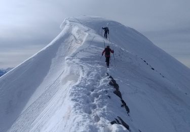
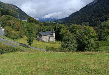
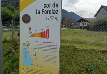
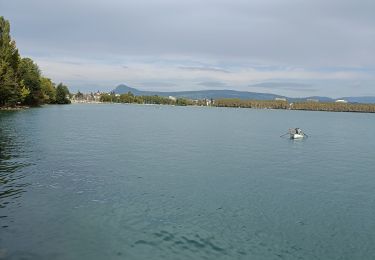
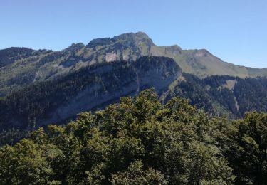
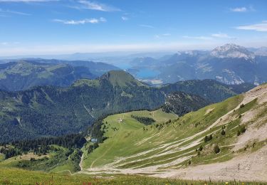
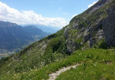
Un chemin un peu difficile car raide et très caillouteux mais la récompense est au bout : une vue magnifique sur le lac d'Annecy, un excellent acceuil et des beignets de pomme de terre succulents.
Localisation
Pays :
France
Région :
Auvergne-Rhône-Alpes
Département/Province :
Haute-Savoie
Commune :
Faverges-Seythenex
Localité :
Faverges
Départ:(Dec)
Départ:(UTM)
289105 ; 5067977 (32T) N.
Commentaires
Randonnées à proximité
![Randonnée Marche Faverges-Seythenex - Cret des Mouches - Photo](https://media.geolcdn.com/t/375/260/ext.jpg?maxdim=2&url=https%3A%2F%2Fservices.sitytrail.com%2FGeolivesWS%2FDownloadMedia.ashx%3FTrailID%3D322242%26Media%3Dfix__20140706145120.jpg)
![Marche Marche](https://static1.geolcdn.com/sitytour/trail-icons/101.png)
Cret des Mouches
Marche
Moyen
(1)
Faverges-Seythenex,
Auvergne-Rhône-Alpes,
Haute-Savoie,
France
![](/images/other/stat-length.png)
9,3 km | 22 km-effort
4h 40min
![](https://static1.geolcdn.com/siteimages/upload/files/16400158638029165_repeat_loop_refresh_sync_direction_icon.png)
Non
![Randonnée Ski de randonnée Faverges-Seythenex - Petite et Grande Chaurionde - Photo](https://media.geolcdn.com/t/375/260/eb9a44ae-0646-4386-b2a9-3c1353bf0112.jpg&format=jpg&maxdim=2)
![Ski de randonnée Ski de randonnée](https://static1.geolcdn.com/sitytour/trail-icons/503.png)
Petite et Grande Chaurionde
Ski de randonnée
Moyen
Faverges-Seythenex,
Auvergne-Rhône-Alpes,
Haute-Savoie,
France
![](/images/other/stat-length.png)
12,2 km | 29 km-effort
5h 15min
![](https://static1.geolcdn.com/siteimages/upload/files/16400158638029165_repeat_loop_refresh_sync_direction_icon.png)
Oui
![Randonnée Marche Plancherine - Abbaye de Tamié - Photo](https://media.geolcdn.com/t/375/260/7088dfc5-4e98-4cdc-8284-f4a0e9c46a34.jpg&format=jpg&maxdim=2)
![Marche Marche](https://static1.geolcdn.com/sitytour/trail-icons/101.png)
Abbaye de Tamié
Marche
Facile
Plancherine,
Auvergne-Rhône-Alpes,
Savoie,
France
![](/images/other/stat-length.png)
5,9 km | 8,1 km-effort
2h 12min
![](https://static1.geolcdn.com/siteimages/upload/files/16400158638029165_repeat_loop_refresh_sync_direction_icon.png)
Non
![Randonnée Vélo électrique Doussard - col de Forclas tour du lac d Annecy - Photo](https://media.geolcdn.com/t/375/260/af7b4962-9417-4f5f-9c8e-56fed7afe560.jpg&format=jpg&maxdim=2)
![Vélo électrique Vélo électrique](https://static1.geolcdn.com/sitytour/trail-icons/205.png)
col de Forclas tour du lac d Annecy
Vélo électrique
Difficile
Doussard,
Auvergne-Rhône-Alpes,
Haute-Savoie,
France
![](/images/other/stat-length.png)
55 km | 70 km-effort
4h 24min
![](https://static1.geolcdn.com/siteimages/upload/files/16400158638029165_repeat_loop_refresh_sync_direction_icon.png)
Oui
![Randonnée Vélo électrique Doussard - tour du lac d Annecy - Photo](https://media.geolcdn.com/t/375/260/2e57f541-488e-4913-8986-cca52229ef69.jpg&format=jpg&maxdim=2)
![Vélo électrique Vélo électrique](https://static1.geolcdn.com/sitytour/trail-icons/205.png)
tour du lac d Annecy
Vélo électrique
Moyen
Doussard,
Auvergne-Rhône-Alpes,
Haute-Savoie,
France
![](/images/other/stat-length.png)
58 km | 66 km-effort
4h 8min
![](https://static1.geolcdn.com/siteimages/upload/files/16400158638029165_repeat_loop_refresh_sync_direction_icon.png)
Oui
![Randonnée Marche Faverges-Seythenex - POINTE DU VELAN - Photo](https://media.geolcdn.com/t/375/260/a7685b36-8822-42a5-a226-95faacbc8e99.jpg&format=jpg&maxdim=2)
![Marche Marche](https://static1.geolcdn.com/sitytour/trail-icons/101.png)
POINTE DU VELAN
Marche
Moyen
Faverges-Seythenex,
Auvergne-Rhône-Alpes,
Haute-Savoie,
France
![](/images/other/stat-length.png)
11,2 km | 24 km-effort
3h 59min
![](https://static1.geolcdn.com/siteimages/upload/files/16400158638029165_repeat_loop_refresh_sync_direction_icon.png)
Oui
![Randonnée Marche Faverges-Seythenex - tour de Sambuy - Photo](https://media.geolcdn.com/t/375/260/cc7bad7b-614b-4f7f-8c28-27e1bf83f8f4.jpg&format=jpg&maxdim=2)
![Marche Marche](https://static1.geolcdn.com/sitytour/trail-icons/101.png)
tour de Sambuy
Marche
Difficile
Faverges-Seythenex,
Auvergne-Rhône-Alpes,
Haute-Savoie,
France
![](/images/other/stat-length.png)
36 km | 58 km-effort
6h 26min
![](https://static1.geolcdn.com/siteimages/upload/files/16400158638029165_repeat_loop_refresh_sync_direction_icon.png)
Non
![Randonnée Marche Faverges-Seythenex - la fosse a l'ours depuis Prafeu - Photo](https://media.geolcdn.com/t/375/260/ext.jpg?maxdim=2&url=https%3A%2F%2Fservices.sitytrail.com%2FGeolivesWS%2FDownloadMedia.ashx%3FTrailID%3D728462%26Media%3Dfix__20170407155905.jpg)
![Marche Marche](https://static1.geolcdn.com/sitytour/trail-icons/101.png)
la fosse a l'ours depuis Prafeu
Marche
Facile
(1)
Faverges-Seythenex,
Auvergne-Rhône-Alpes,
Haute-Savoie,
France
![](/images/other/stat-length.png)
4,7 km | 8,4 km-effort
1h 42min
![](https://static1.geolcdn.com/siteimages/upload/files/16400158638029165_repeat_loop_refresh_sync_direction_icon.png)
Oui
![Randonnée Marche Faverges-Seythenex - SAMBUY PAS DE L'OURS - Photo](https://media.geolcdn.com/t/375/260/e87e4e09-8830-4172-857d-8369cc8c8eea.jpg&format=jpg&maxdim=2)
![Marche Marche](https://static1.geolcdn.com/sitytour/trail-icons/101.png)
SAMBUY PAS DE L'OURS
Marche
Difficile
Faverges-Seythenex,
Auvergne-Rhône-Alpes,
Haute-Savoie,
France
![](/images/other/stat-length.png)
12,4 km | 27 km-effort
7h 5min
![](https://static1.geolcdn.com/siteimages/upload/files/16400158638029165_repeat_loop_refresh_sync_direction_icon.png)
Oui