


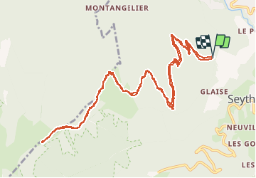

9,3 km | 22 km-effort


Utilisateur


Application GPS de randonnée GRATUITE
 SityTrail
IGN / Instituts géographiques
SityTrail World
Le monde est à vous
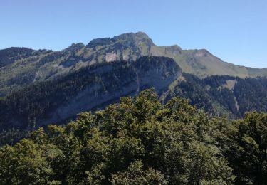
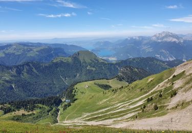
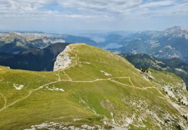
Randonnée Vélo électrique de 15,5 km à découvrir à Auvergne-Rhône-Alpes, Haute-Savoie, Faverges-Seythenex. Cette randonnée est proposée par franquen.
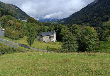
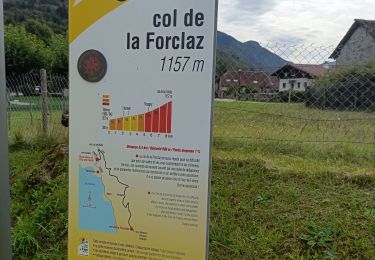
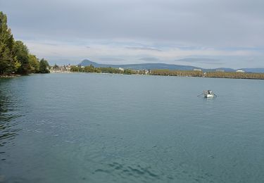
Un chemin un peu difficile car raide et très caillouteux mais la récompense est au bout : une vue magnifique sur le lac d'Annecy, un excellent acceuil et des beignets de pomme de terre succulents.

Marche
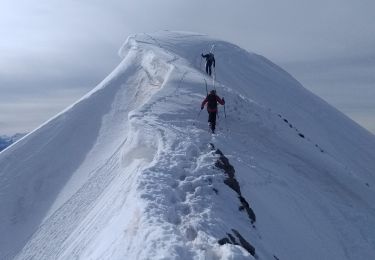
Ski de randonnée
Marche
Vélo électrique
Vélo électrique
Marche
Marche
Marche
Marche