


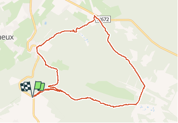


10,1 km | 13,3 km-effort

Utilisateur GUIDE


Application GPS de randonnée GRATUITE
 SityTrail
IGN / Instituts géographiques
SityTrail World
Le monde est à vous
Randonnée Marche de 10,6 km à découvrir à Wallonie, Liège, Jalhay. Cette randonnée est proposée par pierreh01.
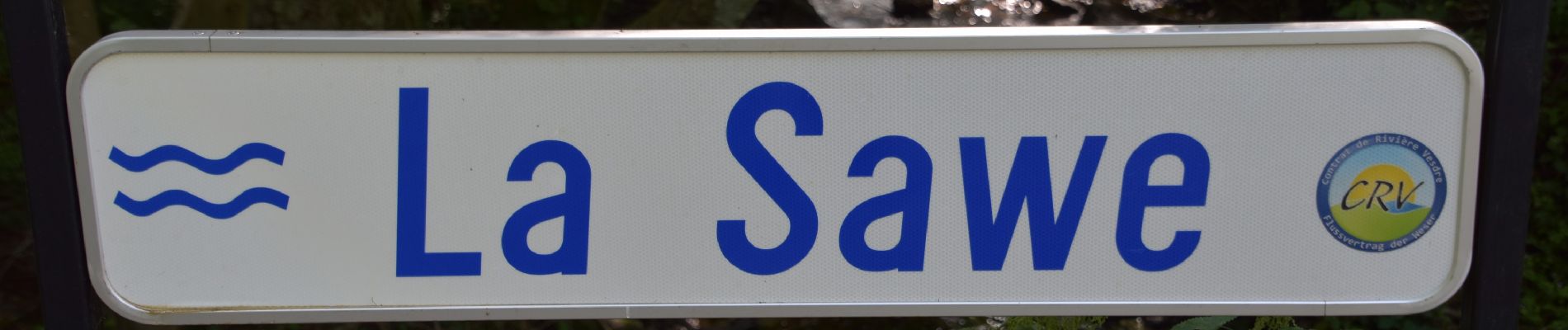
Balade guidée " D'un ruisseau à l'autre ", de l'Office du Tourisme de Jahay-Sart, animée le 19 juillet 2020 par la guide Jacqueline EENENS.


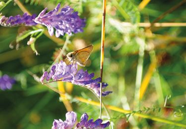
45 photos au total. Cliquez sur une photo pour les afficher toutes dans la galerie.

Marche

Marche

Marche

Marche

Marche

Marche

Marche
Marche

Course à pied