


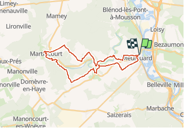

29 km | 35 km-effort


Utilisateur


Application GPS de randonnée GRATUITE
 SityTrail
IGN / Instituts géographiques
SityTrail World
Le monde est à vous
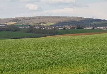
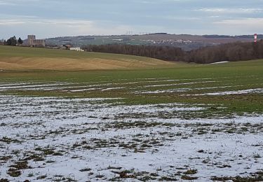
Randonnée Marche de 28 km à découvrir à Grand Est, Meurthe-et-Moselle, Dieulouard. Cette randonnée est proposée par DanielROLLET.
2020 07 19 - 9h00 à 17h00 - beau temps chaud - Avec Marie
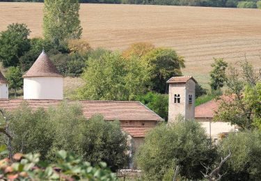
Beaucoup de route, ruisseau inabordable (clôtures) villages sans grand intérêt, Grand Orme qui est en fait un groupe de tilleuls.
Beaucoup de découvert, attention au soleil.
Vélo
A pied

V.T.T.
Vélo
Vélo de route
V.T.T.
Marche
Marche
Marche