7 km | 8,6 km-effort
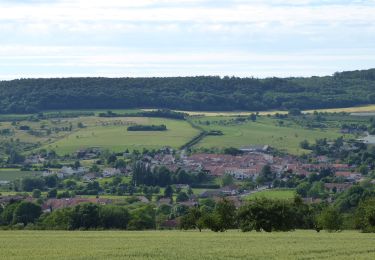
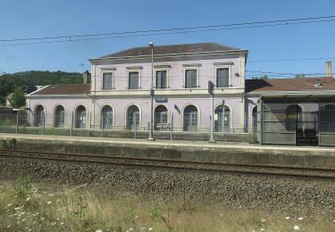
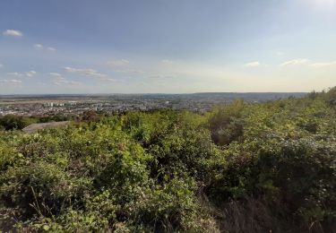
De Lay-Saint-Christophe au Bois de Faulx
ZAMBAUX
Utilisateur
Longueur
10,4 km
Altitude max
406 m
Dénivelé positif
240 m
Km-Effort
13,6 km
Altitude min
200 m
Dénivelé négatif
240 m
Boucle
Oui
Date de création :
2020-07-17 07:47:53.107
Dernière modification :
2020-07-17 07:48:55.85
2h55
Difficulté : Difficile
Application GPS de randonnée GRATUITE
À propos
Randonnée Marche de 10,4 km à découvrir à Grand Est, Meurthe-et-Moselle, Lay-Saint-Christophe. Cette randonnée est proposée par ZAMBAUX.
Description
Randonnée agréable en partie à l'ombre de 10km
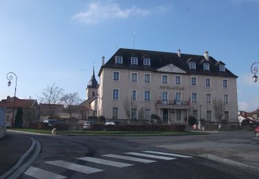
Points d'intérêt
Localisation
Pays :
France
Région :
Grand Est
Département/Province :
Meurthe-et-Moselle
Commune :
Lay-Saint-Christophe
Localité :
Unknown
Départ:(Dec)
Départ:(UTM)
294206 ; 5403287 (32U) N.
Commentaires
Randonnées à proximité
Circuit du Val Saint-Barthélémy
A pied
Facile
Champigneulles,
Grand Est,
Meurthe-et-Moselle,
France
1h 57min
Oui
Circuit M
A pied
Facile
Agincourt,
Grand Est,
Meurthe-et-Moselle,
France
13,3 km | 17,8 km-effort
4h 3min
Non
4ème rando vélo Frouard - Lagarde 62 km
Cyclotourisme
Très difficile
Frouard,
Grand Est,
Meurthe-et-Moselle,
France
62 km | 67 km-effort
4h 32min
Non
Circuit L
A pied
Facile
Lay-Saint-Christophe,
Grand Est,
Meurthe-et-Moselle,
France
14,7 km | 18,5 km-effort
4h 11min
Oui
Circuit de Bellefontaine - général ouest
A pied
Facile
Champigneulles,
Grand Est,
Meurthe-et-Moselle,
France
6,1 km | 8 km-effort
1h 48min
Non
Circuit du Vallum de la Fourasse
A pied
Facile
Champigneulles,
Grand Est,
Meurthe-et-Moselle,
France
3,3 km | 4,9 km-effort
1h 6min
Oui
Circuit moyenne ceinture
A pied
Facile
Bouxières-aux-Dames,
Grand Est,
Meurthe-et-Moselle,
France
3,8 km | 5,3 km-effort
1h 12min
Oui
Eulmont_La tour du Crany_10kms
Marche
Difficile
(2)
Eulmont,
Grand Est,
Meurthe-et-Moselle,
France
9,6 km | 12,6 km-effort
2h 51min
Oui
Dommartemont
Marche
Moyen
Dommartemont,
Grand Est,
Meurthe-et-Moselle,
France
29 km | 34 km-effort
3h 5min
Non