


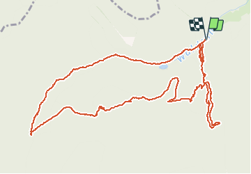

11,4 km | 18,5 km-effort


Utilisateur


Application GPS de randonnée GRATUITE
 SityTrail
IGN / Instituts géographiques
SityTrail World
Le monde est à vous
Randonnée Marche de 7,1 km à découvrir à Grand Est, Haut-Rhin, Moosch. Cette randonnée est proposée par JCLUTT.
Une montée bien sportive jusqu'au Kolabi !!!

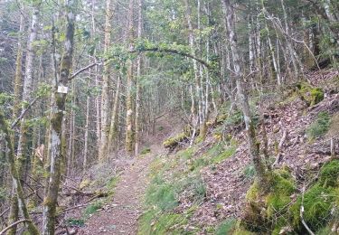
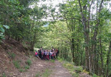
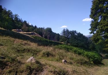
Marche

A pied

Marche

Marche
Marche
Marche

Marche
Marche