


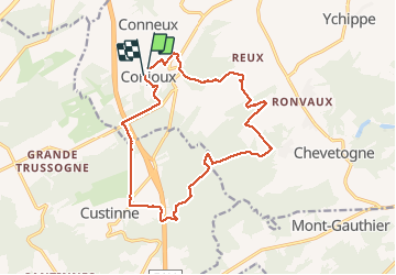

18,9 km | 24 km-effort

Utilisateur GUIDE


Application GPS de randonnée GRATUITE
 SityTrail
IGN / Instituts géographiques
SityTrail World
Le monde est à vous
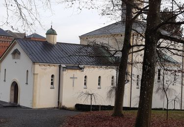
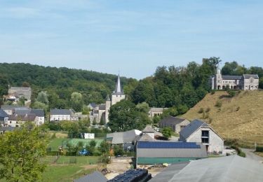
Randonnée Marche de 15,1 km à découvrir à Wallonie, Namur, Ciney. Cette randonnée est proposée par Michel1963.
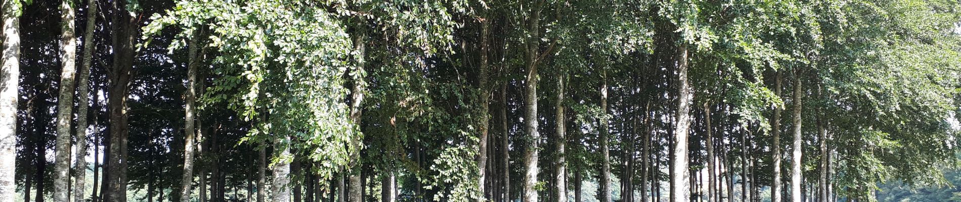
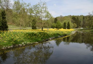
Superbe randonnée, très boisée, malgré passages en bord d'autoroute. Attention passage propriété privée à la fin, ouvert pour l'occasion. La fin de l'itinéraire devra donc probablement être adaptée...


Marche

Marche
Marche

Marche

Marche

Marche

Marche
Marche
Marche