


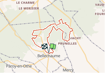

10,4 km | 12,6 km-effort


Utilisateur


Application GPS de randonnée GRATUITE
 SityTrail
IGN / Instituts géographiques
SityTrail World
Le monde est à vous
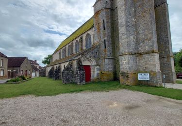
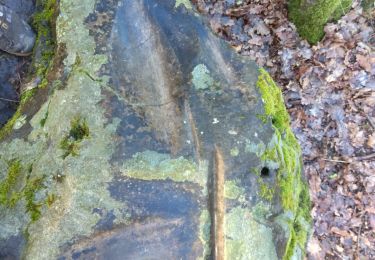
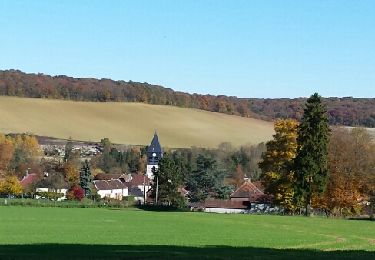
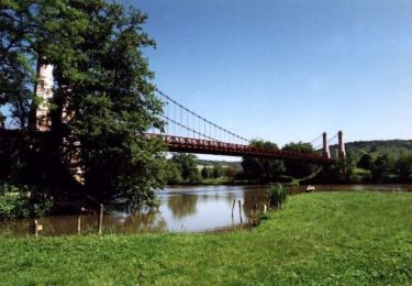
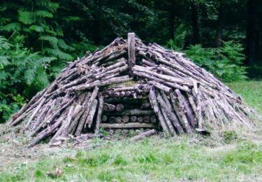
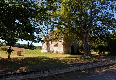
Randonnée A pied de 15,6 km à découvrir à Bourgogne-Franche-Comté, Yonne, Bellechaume. Cette randonnée est proposée par Jean CORBERON.
Bellechaume (bon dénivelé)
Marche
Marche
Marche
V.T.T.
Marche

Marche
Marche
Marche
Marche