


31 km | 45 km-effort

Utilisateur


Application GPS de randonnée GRATUITE
 SityTrail
IGN / Instituts géographiques
SityTrail World
Le monde est à vous
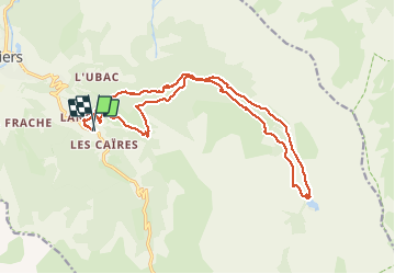
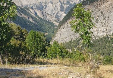
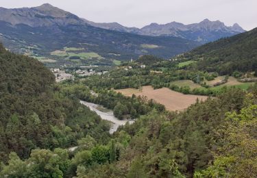
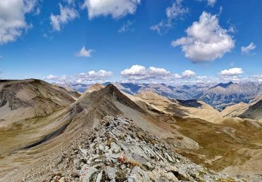
Randonnée Marche de 21 km à découvrir à Provence-Alpes-Côte d'Azur, Alpes-de-Haute-Provence, Jausiers. Cette randonnée est proposée par GILOU440.
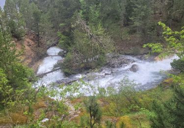
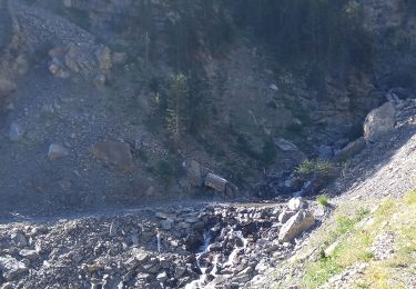
beaucoup de piste .
mais agréable.


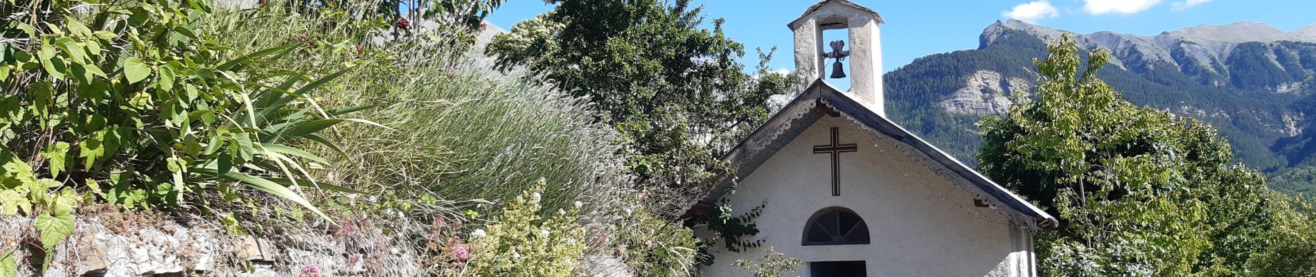
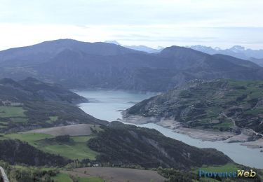
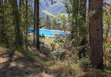
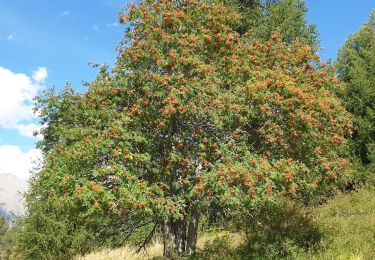
40 photos au total. Cliquez sur une photo pour les afficher toutes dans la galerie.
V.T.T.

Marche
Vélo électrique
Marche
Marche
Marche
Marche
Marche
Marche