


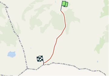

11,1 km | 16,4 km-effort


Utilisateur


Application GPS de randonnée GRATUITE
 SityTrail
IGN / Instituts géographiques
SityTrail World
Le monde est à vous
Randonnée Autre activité de 2,8 km à découvrir à Vaud, District de la Riviera-Pays-d’Enhaut, Château-d'Œx. Cette randonnée est proposée par tello.
ATTENTION course très raide et exposé ,a n''entreprendre seulement par bonne condition

Marche
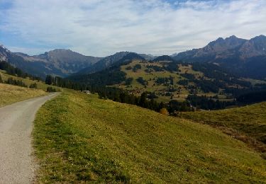
Marche
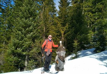
Ski de randonnée

Marche
Marche
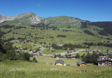
Marche
Marche

Sports d'hiver
Marche