


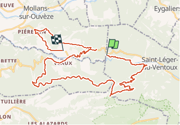

19,1 km | 30 km-effort

Utilisateur


Application GPS de randonnée GRATUITE
 SityTrail
IGN / Instituts géographiques
SityTrail World
Le monde est à vous
Randonnée Marche de 28 km à découvrir à Provence-Alpes-Côte d'Azur, Vaucluse, Saint-Léger-du-Ventoux. Cette randonnée est proposée par Atchoum26.
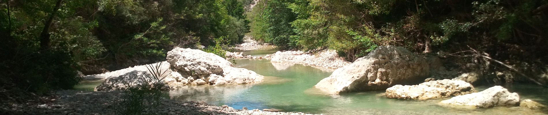
rando sympa le long des gorges mais très longue pour le retour dans le col de Comte. Reste tout de même un petit retour single sympa à la fin.


Marche

Marche
A pied
A pied
A pied
A pied
A pied

Marche

Marche