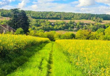
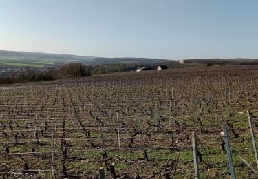
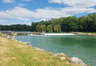
8,5 km | 10,6 km-effort
CHATEAU AZY
explorateur
Utilisateur
Longueur
11,5 km
Altitude max
157 m
Dénivelé positif
169 m
Km-Effort
13,8 km
Altitude min
54 m
Dénivelé négatif
169 m
Boucle
Oui
Date de création :
2020-06-30 16:54:15.712
Dernière modification :
2020-06-30 21:41:39.391
--
Difficulté : Facile
Application GPS de randonnée GRATUITE
À propos
Randonnée A pied de 11,5 km à découvrir à Hauts-de-France, Aisne, Château-Thierry. Cette randonnée est proposée par explorateur.
Localisation
Pays :
France
Région :
Hauts-de-France
Département/Province :
Aisne
Commune :
Château-Thierry
Localité :
Unknown
Départ:(Dec)
Départ:(UTM)
528072 ; 5431634 (31U) N.
Commentaires
Randonnées à proximité
Château-Thierry du 20-10-2024
Marche
Moyen
Château-Thierry,
Hauts-de-France,
Aisne,
France
2h 25min
Oui
Le chemin de St Colomban en IDF Etape 1 Chateau Thierry - Nanteuil sur Marne
Marche
Très difficile
Château-Thierry,
Hauts-de-France,
Aisne,
France
35 km | 44 km-effort
7h 12min
Non
Les Vignes Castelles trace du 28-04-2024
Marche
Difficile
Château-Thierry,
Hauts-de-France,
Aisne,
France
12,6 km | 16,4 km-effort
3h 43min
Oui
Les vignes Castelles - version 8 km
Marche
Moyen
Château-Thierry,
Hauts-de-France,
Aisne,
France
8,2 km | 10,3 km-effort
2h 20min
Oui
Chierry
Marche
Très facile
(1)
Chierry,
Hauts-de-France,
Aisne,
France
10,8 km | 13,3 km-effort
3h 1min
Oui
Nesles la Montagne du 02/06/2020
Marche
Très facile
Nesles-la-Montagne,
Hauts-de-France,
Aisne,
France
8,6 km | 11,1 km-effort
1h 45min
Oui
Château / Mont St Père / Azy / Château
V.T.T.
Très facile
Château-Thierry,
Hauts-de-France,
Aisne,
France
33 km | 35 km-effort
1h 40min
Oui
Château - Aulnois - Château du 26/05/2020
Marche
Très facile
Château-Thierry,
Hauts-de-France,
Aisne,
France
9,2 km | 11,1 km-effort
2h 4min
Oui
Verdilly Balcons de la Marne
Course à pied
Moyen
(1)
Verdilly,
Hauts-de-France,
Aisne,
France
32 km | 41 km-effort
Inconnu
Oui