


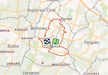

12,4 km | 14 km-effort

Utilisateur


Application GPS de randonnée GRATUITE
 SityTrail
IGN / Instituts géographiques
SityTrail World
Le monde est à vous
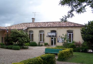
Randonnée Marche de 14,1 km à découvrir à Nouvelle-Aquitaine, Gironde, Sauternes. Cette randonnée est proposée par 611686735.
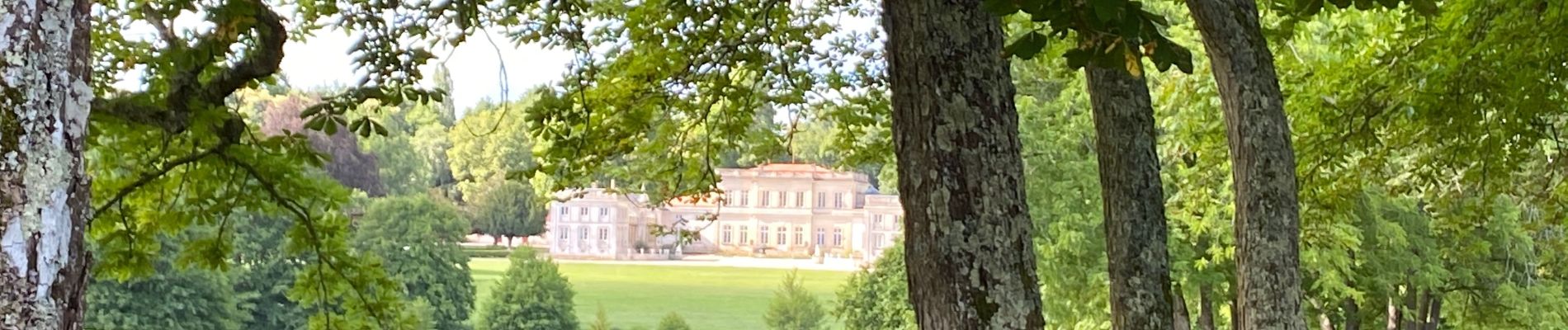
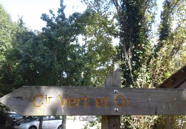
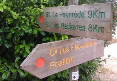
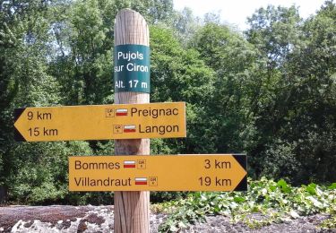
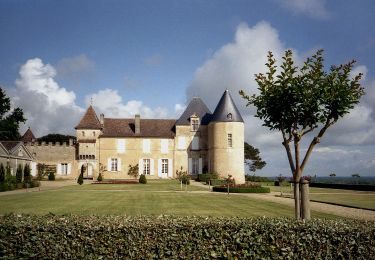
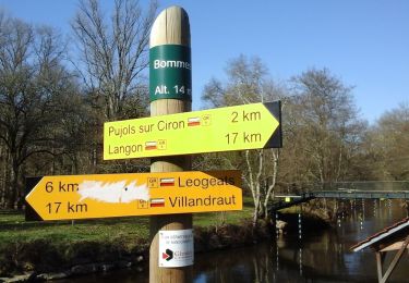
Randonnée en boucle au départ du village de Sauternes, passant près des prestigieux châteaux de l'appellation du même nom (Yquem, etc...) en immersion dans les vignes parfaitement entretenues.


A pied
A pied

A pied
A pied
A pied
A pied
A pied
A pied
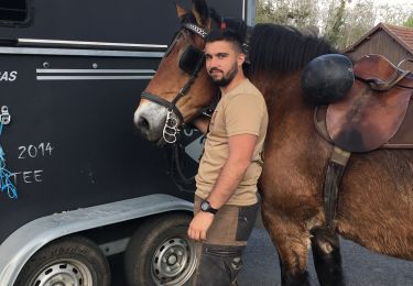
Randonnée équestre