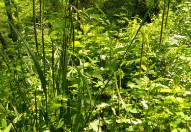
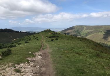
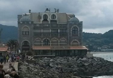
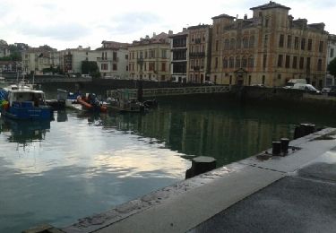
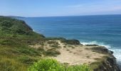
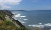
Randonnée Marche Urrugne - SOCOA HENDAYE par sentier du littoral - Photo

SOCOA HENDAYE par sentier du littoral

 jaja64
jaja64

Utilisateur

© OpenStreetMap contributors
Longueur
Longueur
17 km
Altitude max
Altitude max
56 m
Dénivelé positif
Dénivelé positif
344 m
Km-Effort
Km-Effort  
22 km
Altitude min
Altitude min
0 m
Dénivelé négatif
Dénivelé négatif
344 m
Boucle
Boucle
Oui
Date de création :
2020-06-28 12:35:12.0
Dernière modification :
2020-06-29 09:58:13.374

(0 Avis)

Marche
Marche
4h24
Difficulté : Facile

Scannez ce code QR pour ouvrir la randonnée dans l'application SityTrail

Application GPS de randonnée GRATUITE

Logo SityTrail SityTrail
IGN / Instituts géographiques

Télécharger SityTrail sur l'App Store Télécharger SityTrail sur Google Play

Logo SityTrail SityTrail World
Le monde est à vous

Télécharger SityTrail sur l'App Store Télécharger SityTrail sur Google Play Télécharger SityTrail sur Huawei AppGallery

À propos

Randonnée Marche de 17 km à découvrir à Nouvelle-Aquitaine, Pyrénées-Atlantiques, Urrugne. Cette randonnée est proposée par jaja64.

Description

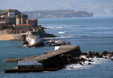
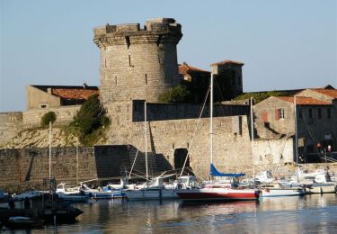
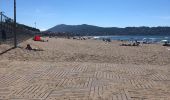
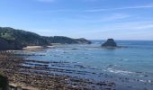
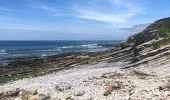
A/R Socoa Hendaye par domaine d'Abbadia.
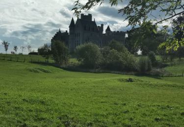
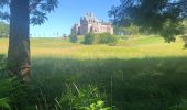
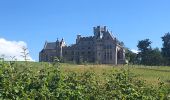
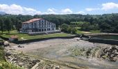
Le domaine est géré par le conservatoire du littoral, la mairie d’Hendaye et l’association Abbadiako Adixkideak. Doit son nom au scientifique Antoine d’Abbadie qui fit édifier son château au XIXème siècle. La visite du site est gratuite et la visite du château est payante.

Profil altimétrique

Photos

Localisation

Pays :
France
Région :
Nouvelle-Aquitaine
Département/Province :
Pyrénées-Atlantiques
Commune :
Urrugne
Localité :
Unknown
Départ:(Dec)
Départ:(UTM)
606325 ; 4804838 (30T) N.

Randonnées à proximité

Randonnée Marche Ascain - ascain Sare ascain - Photo
Marche
RayFab

Marche

Moyen
(1)
Ascain, Nouvelle-Aquitaine, Pyrénées-Atlantiques, France
18,8 km | 27 km-effort
4h 39min
Oui
Randonnée Marche Saint-Jean-de-Luz - 64 SAINT-JEAN-DE-LUZ, front de mer, pointe ste Barbe, sentier littoral - Photo
Marche
jeff66

Marche

Moyen
(1)
Saint-Jean-de-Luz, Nouvelle-Aquitaine, Pyrénées-Atlantiques, France
6,9 km | 8,4 km-effort
1h 57min
Oui
Randonnée V.T.T. Urrugne - la rhune - Photo
V.T.T.
PierreBellevaux

V.T.T.

Très difficile
(2)
Urrugne, Nouvelle-Aquitaine, Pyrénées-Atlantiques, France
32 km | 45 km-effort
3h 42min
Oui
Randonnée V.T.T. Ascain - Ibardin 10/8/23 - Photo
V.T.T.
CEFAMALI

V.T.T.

Ascain, Nouvelle-Aquitaine, Pyrénées-Atlantiques, France
40 km | 58 km-effort
3h 52min
Non
Randonnée Marche Ciboure - SENTIER DU LITTORAL BASQUE  - Photo
Marche
PVERTICAL

Marche

Facile
Ciboure, Nouvelle-Aquitaine, Pyrénées-Atlantiques, France
14,6 km | 18,5 km-effort
4h 2min
Non
Randonnée Marche Saint-Jean-de-Luz - JFT YB ETAPE 23 21-5-2014 - Photo
Marche
jeff2

Marche

Facile
Saint-Jean-de-Luz, Nouvelle-Aquitaine, Pyrénées-Atlantiques, France
17,3 km | 22 km-effort
5h 10min
Non
Randonnée Marche Saint-Jean-de-Luz - Sentier du Littoral - De St Jean de Luz à Hendaye - Photo
Marche
tracegps

Marche

Moyen
(1)
Saint-Jean-de-Luz, Nouvelle-Aquitaine, Pyrénées-Atlantiques, France
15,1 km | 19,2 km-effort
3h 0min
Non
Randonnée V.T.T. Ciboure - La virée de Joël - Ciboure - Photo
V.T.T.
tracegps

V.T.T.

Moyen
Ciboure, Nouvelle-Aquitaine, Pyrénées-Atlantiques, France
36 km | 44 km-effort
3h 0min
Oui
Randonnée Marche Hendaye - Hendaye samedi JP  - Photo
Marche
ClubAgeHeureux

Marche

Moyen
Hendaye, Nouvelle-Aquitaine, Pyrénées-Atlantiques, France
5,5 km | 7,1 km-effort
1h 44min
Oui


Fermer
Mes abonnements