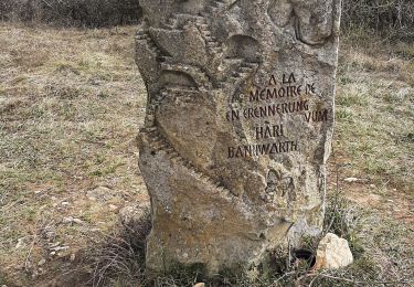
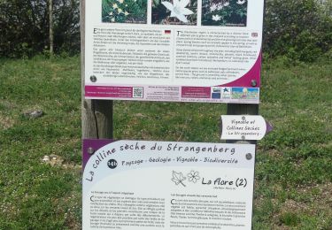
Randonnée Marche Bergholtzzell - bergholtzzell  croix de mission boucle - Photo

bergholtzzell croix de mission boucle

 stempfel52
stempfel52

Utilisateur GUIDE

© OpenStreetMap contributors
Longueur
Longueur
9,2 km
Altitude max
Altitude max
556 m
Dénivelé positif
Dénivelé positif
309 m
Km-Effort
Km-Effort  
13,3 km
Altitude min
Altitude min
262 m
Dénivelé négatif
Dénivelé négatif
305 m
Boucle
Boucle
Oui
Date de création :
2020-06-28 12:43:53.196
Dernière modification :
2020-06-28 18:25:03.798

(0 Avis)

Marche
Marche
2h43
Difficulté : Difficile

Scannez ce code QR pour ouvrir la randonnée dans l'application SityTrail

Application GPS de randonnée GRATUITE

Logo SityTrail SityTrail

IGN / Instituts géographiques

Télécharger SityTrail sur l'App Store Télécharger SityTrail sur Google Play

Logo SityTrail SityTrail World

Le monde est à vous

Télécharger SityTrail sur l'App Store Télécharger SityTrail sur Google Play Télécharger SityTrail sur Huawei AppGallery

À propos

Randonnée Marche de 9,2 km à découvrir à Grand Est, Haut-Rhin, Bergholtzzell. Cette randonnée est proposée par stempfel52.

Profil altimétrique

Photos

Localisation

Pays :
France
Région :
Grand Est
Département/Province :
Haut-Rhin
Commune :
Bergholtzzell
Localité :
Unknown
Départ:(UTM)
367966 ; 5310121 (32T) N.

Randonnées à proximité

Randonnée Marche Westhalten - 2021 03 04 Westhalten - Photo
Marche
E.BURCK

Marche

Facile
(1)
Westhalten, Grand Est, Haut-Rhin, France
7,7 km | 11,3 km-effort
2h 21min
Oui
Randonnée Marche Rouffach - 68 Rouffach- Schauenberg variante
Marche
E.BURCK

Marche

Facile
(1)
Rouffach, Grand Est, Haut-Rhin, France
10,6 km | 15,3 km-effort
3h 29min
Oui
Randonnée V.T.T. Guebwiller - P4  Circuits du Florival 2021   - Photo
V.T.T.
duchaine.nicolas

V.T.T.

Moyen
(1)
Guebwiller, Grand Est, Haut-Rhin, France
40 km | 53 km-effort
4h 31min
Non
Randonnée Marche Westhalten - ND du Hubel_Schauenberg - Photo
Marche
dick68

Marche

Moyen
(2)
Westhalten, Grand Est, Haut-Rhin, France
8,3 km | 11,7 km-effort
2h 39min
Oui
Randonnée V.T.T. Westhalten - Westhalten - Le tour de la vallée Noble - Photo
V.T.T.
sit68000

V.T.T.

Difficile
(1)
Westhalten, Grand Est, Haut-Rhin, France
24 km | 33 km-effort
2h 30min
Oui
Randonnée Marche Westhalten - WESTHALTEN ZINKOEPHLE - Photo
Marche
MarcOBRECHT

Marche

Moyen
Westhalten, Grand Est, Haut-Rhin, France
10,6 km | 15,3 km-effort
2h 56min
Oui
Randonnée Marche Westhalten - Westhalten - Rouffach  - Photo
Marche
Richard68500

Marche

Difficile
Westhalten, Grand Est, Haut-Rhin, France
8,9 km | 13 km-effort
3h 22min
Oui
Randonnée Marche Buhl - TL 11/23 avec un petit tour dans le vignoble avec départ du parking Côte de l'Appenthal et repas à la Taverne du Vigneron - Photo
Marche
patrickbeyrath

Marche

Moyen
(1)
Buhl, Grand Est, Haut-Rhin, France
8,7 km | 12 km-effort
2h 43min
Oui
Randonnée Marche Soultzmatt - Rando du 30/03/2034 - Photo
Marche
boubou68

Marche

Difficile
Soultzmatt, Grand Est, Haut-Rhin, France
19,5 km | 29 km-effort
4h 32min
Oui


Fermer
Mes abonnements