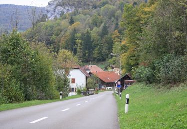
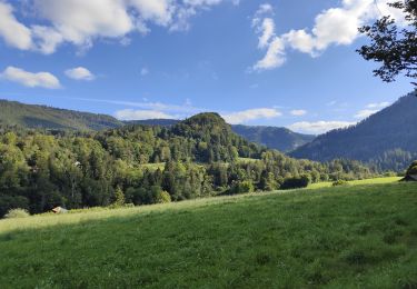
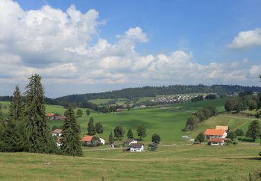
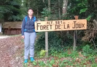
3,4 km | 4,5 km-effort
Goumois
klopbill
Utilisateur
Longueur
13,6 km
Altitude max
605 m
Dénivelé positif
433 m
Km-Effort
19,4 km
Altitude min
493 m
Dénivelé négatif
442 m
Boucle
Oui
Date de création :
2020-06-25 08:41:27.497
Dernière modification :
2020-06-27 06:05:08.693
5h42
Difficulté : Facile
Application GPS de randonnée GRATUITE
À propos
Randonnée Marche de 13,6 km à découvrir à Bourgogne-Franche-Comté, Doubs, Goumois. Cette randonnée est proposée par klopbill.
Localisation
Pays :
France
Région :
Bourgogne-Franche-Comté
Département/Province :
Doubs
Commune :
Goumois
Localité :
Unknown
Départ:(Dec)
Départ:(UTM)
344879 ; 5236193 (32T) N.
Commentaires
Randonnées à proximité
La Goule - fixme
A pied
Facile
Le Noirmont,
Jura,
District des Franches-Montagnes,
Suisse
1h 0min
Non
La Goule - fixme
A pied
Facile
Le Noirmont,
Jura,
District des Franches-Montagnes,
Suisse
3,9 km | 8,2 km-effort
1h 51min
Non
Muriaux - Goumois
A pied
Facile
Muriaux,
Jura,
District des Franches-Montagnes,
Suisse
4 km | 6,7 km-effort
1h 31min
Non
Circuit du barrage de la Goule
Marche
Moyen
Goumois,
Bourgogne-Franche-Comté,
Doubs,
France
13,8 km | 18,8 km-effort
3h 36min
Oui
Les Sommêtres
Marche
Moyen
Goumois,
Bourgogne-Franche-Comté,
Doubs,
France
24 km | 37 km-effort
7h 54min
Non
Goumois randonnée La Goule
Marche
Moyen
Charmauvillers,
Bourgogne-Franche-Comté,
Doubs,
France
19,6 km | 35 km-effort
3h 5min
Non
Moulin Jeannottat-Les Pommerats
A pied
Facile
Saignelégier,
Jura,
District des Franches-Montagnes,
Suisse
4,3 km | 8,5 km-effort
1h 55min
Non
Étape 4 : Fessevillers à Bief d'Etoz
Marche
Moyen
Fessevillers,
Bourgogne-Franche-Comté,
Doubs,
France
15 km | 21 km-effort
5h 14min
Non
La Chute du Bief de Vautenaivre et le Château Cugny.
Marche
Moyen
Goumois,
Bourgogne-Franche-Comté,
Doubs,
France
15,2 km | 23 km-effort
5h 30min
Oui