


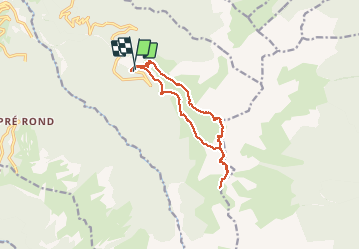

12 km | 26 km-effort


Utilisateur


Application GPS de randonnée GRATUITE
 SityTrail
IGN / Instituts géographiques
SityTrail World
Le monde est à vous
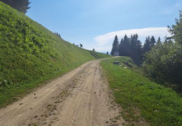
Randonnée Marche de 12,3 km à découvrir à Auvergne-Rhône-Alpes, Savoie, Arvillard. Cette randonnée est proposée par ChrysteleGervaise.
Itinéraire parcouru en Juin 2018
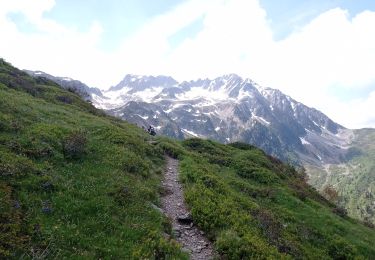
Il faut parfois mettre les mains pour la crête des Grands Moulins, itinéraire balisé par des cairns depuis le sommet si l'on souhaite faire l'itinéraire dans l'autre sens.
Attention à ne pas s'engager sur les crêtes par temps d'orage.

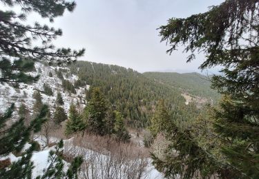
Marche

Marche
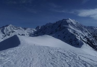
Ski de randonnée

V.T.T.
Marche
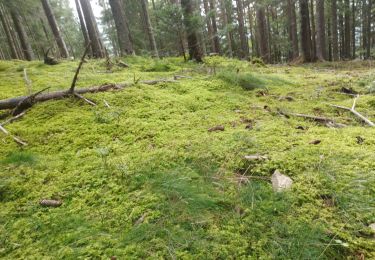
Marche
Marche
Marche
Marche