


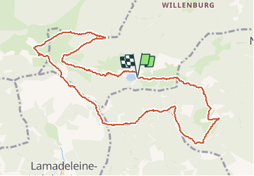


8,1 km | 12,3 km-effort

Utilisateur


Application GPS de randonnée GRATUITE
 SityTrail
IGN / Instituts géographiques
SityTrail World
Le monde est à vous
Randonnée Marche de 11,9 km à découvrir à Grand Est, Haut-Rhin, Kirchberg. Cette randonnée est proposée par ABICHE.
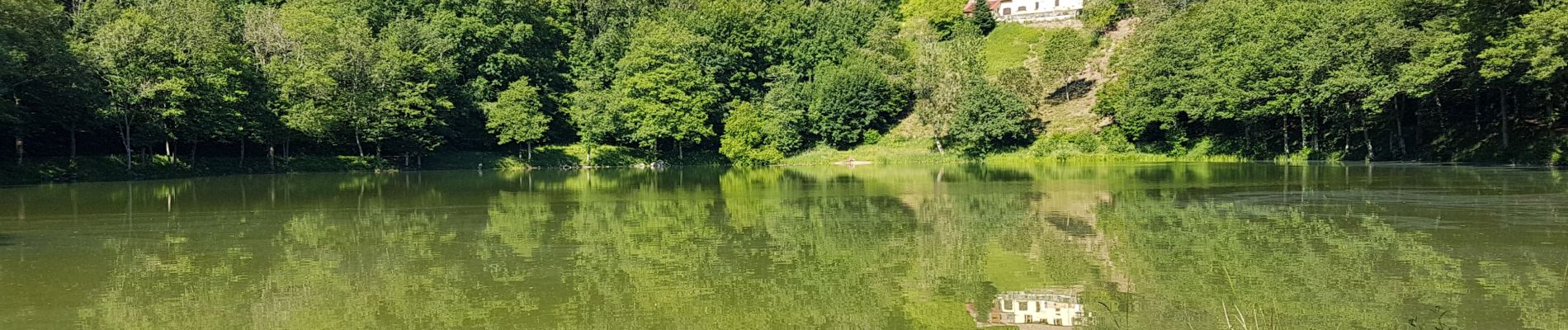
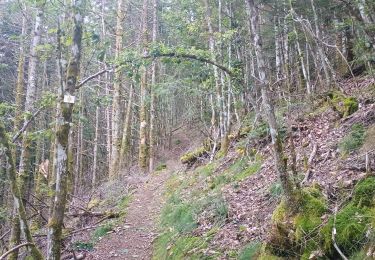
Au départ du lac, de belles montées mais sur de magnifiques chemins jusqu'au sommet du Baerenkopf. plusieurs endroits pour faire des poses.


24 photos au total. Cliquez sur une photo pour les afficher toutes dans la galerie.

Marche

Marche

Marche

Marche

Marche

Marche

Marche

Marche
Marche