11,2 km | 11,9 km-effort
BL617 Alsace
PhilippeC54
Utilisateur
Longueur
51 km
Altitude max
201 m
Dénivelé positif
256 m
Km-Effort
55 km
Altitude min
177 m
Dénivelé négatif
257 m
Boucle
Oui
Date de création :
2020-06-24 10:03:43.022
Dernière modification :
2020-06-24 13:54:29.328
2h57
Difficulté : Très facile
Application GPS de randonnée GRATUITE
À propos
Randonnée Vélo de route de 51 km à découvrir à Grand Est, Haut-Rhin, Sundhoffen. Cette randonnée est proposée par PhilippeC54.
Description
monotone
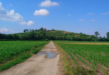
vv long du canal pleine de gravillons
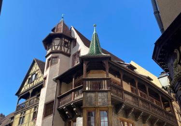
belle visite de Colmar
Localisation
Pays :
France
Région :
Grand Est
Département/Province :
Haut-Rhin
Commune :
Sundhoffen
Localité :
Unknown
Départ:(Dec)
Départ:(UTM)
382120 ; 5322151 (32U) N.
Commentaires
Randonnées à proximité
Covid-19 - A la recherche du cercle parfait
Course à pied
Très facile
(1)
Colmar,
Grand Est,
Haut-Rhin,
France
1h 0min
Oui
grand tour de Colmar
Marche
Très facile
(1)
Colmar,
Grand Est,
Haut-Rhin,
France
4,7 km | 5,1 km-effort
1h 22min
Oui
Colmar petite Venise
Marche
Colmar,
Grand Est,
Haut-Rhin,
France
9,3 km | 10,1 km-effort
3h 16min
Oui
VTT 15/11/22 effectuée
V.T.T.
Facile
(1)
Andolsheim,
Grand Est,
Haut-Rhin,
France
11,6 km | 12,5 km-effort
1h 26min
Non
Widensolen, un tracé 100% plaisir
Course à pied
Très facile
Widensolen,
Grand Est,
Haut-Rhin,
France
12,1 km | 12,9 km-effort
1h 1min
Oui
Sur un parcours d'une course d'orientation
Marche
Très facile
Colmar,
Grand Est,
Haut-Rhin,
France
4,6 km | 5 km-effort
51min
Non
Vélo randonnée Colmar Guebwiller
V.T.C.
Facile
Colmar,
Grand Est,
Haut-Rhin,
France
59 km | 64 km-effort
3h 29min
Oui
Colmar centre Enseignes
A pied
Facile
Colmar,
Grand Est,
Haut-Rhin,
France
4,8 km | 5,2 km-effort
Inconnu
Oui
Willer sur Thur - Grand Ballon- Willer sur Thur
Marche
Difficile
Colmar,
Grand Est,
Haut-Rhin,
France
51 km | 0 m-effort
5h 34min
Non