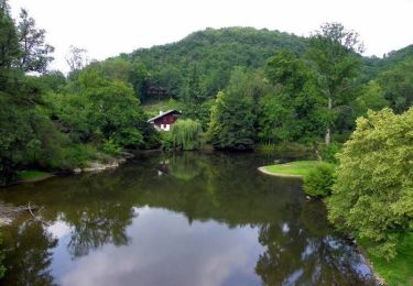
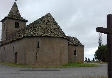
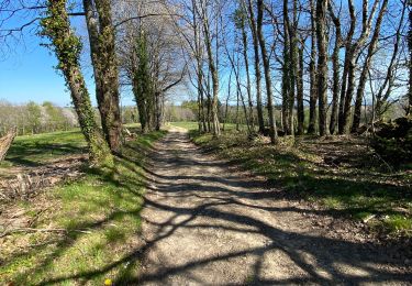
3,3 km | 4,7 km-effort
La Capelle Bleys
BESSOU1294
Utilisateur
Longueur
9,8 km
Altitude max
674 m
Dénivelé positif
228 m
Km-Effort
12,8 km
Altitude min
527 m
Dénivelé négatif
228 m
Boucle
Oui
Date de création :
2020-06-24 07:03:52.295
Dernière modification :
2020-06-24 20:01:56.165
2h45
Difficulté : Facile
Application GPS de randonnée GRATUITE
À propos
Randonnée A pied de 9,8 km à découvrir à Occitanie, Aveyron, La Capelle-Bleys. Cette randonnée est proposée par BESSOU1294.
Localisation
Pays :
France
Région :
Occitanie
Département/Province :
Aveyron
Commune :
La Capelle-Bleys
Localité :
Unknown
Départ:(Dec)
Départ:(UTM)
434701 ; 4905356 (31T) N.
Commentaires
Randonnées à proximité
Le Ségala, le Pays des 100 vallées - Rieupeyroux
Vélo
Difficile
Rieupeyroux,
Occitanie,
Aveyron,
France
71 km | 87 km-effort
4h 30min
Oui
Rando Occitane
Marche
Très facile
Rieupeyroux,
Occitanie,
Aveyron,
France
9,8 km | 13,2 km-effort
2h 54min
Non
Tour du Pradal
Marche
Facile
Rieupeyroux,
Occitanie,
Aveyron,
France
3,9 km | 5,8 km-effort
1h 32min
Oui
Rieupeyroux - Prévinquière
V.T.T.
Difficile
Rieupeyroux,
Occitanie,
Aveyron,
France
23 km | 32 km-effort
2h 45min
Oui
Rieupeyroux - Prévinquière
Marche
Difficile
Rieupeyroux,
Occitanie,
Aveyron,
France
23 km | 32 km-effort
7h 0min
Oui
ryeuperou/ Chasseneuil
Voiture
Très facile
Rieupeyroux,
Occitanie,
Aveyron,
France
319 km | 383 km-effort
7h 32min
Non
LA BASTIDE L'EVEQUE ET MARTINET DE LA RAMONDE
Marche
Facile
Le Bas Ségala,
Occitanie,
Aveyron,
France
5,7 km | 7,5 km-effort
1h 58min
Oui
Balade vues sur les plateaux
Trail
Moyen
Rieupeyroux,
Occitanie,
Aveyron,
France
6,3 km | 9 km-effort
1h 0min
Non