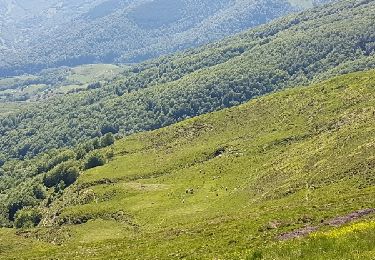
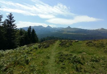
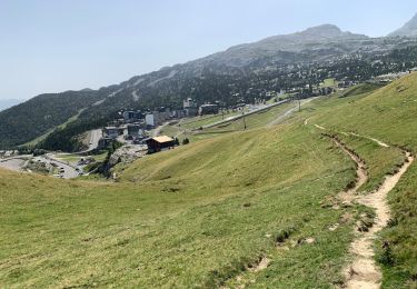
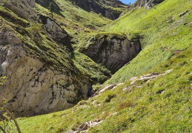
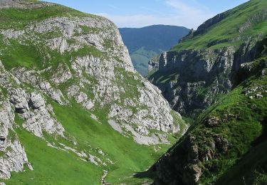
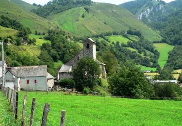
Randonnée Marche Sainte-Engrâce - Tour du canyon Kakuetta - Photo
 mthomas30
mthomas30

Utilisateur

© OpenStreetMap contributors
Longueur
Longueur
22 km
Altitude max
Altitude max
1332 m
Dénivelé positif
Dénivelé positif
1207 m
Km-Effort
Km-Effort  
38 km
Altitude min
Altitude min
463 m
Dénivelé négatif
Dénivelé négatif
1204 m
Boucle
Boucle
Oui
Date de création :
2020-06-23 08:35:41.191
Dernière modification :
2020-07-13 07:57:04.586

(0 Avis)

Marche
Marche
7h38
Difficulté : Difficile

Scannez ce code QR pour ouvrir la randonnée dans l'application SityTrail

Application GPS de randonnée GRATUITE

Logo SityTrail SityTrail

IGN / Instituts géographiques

Télécharger SityTrail sur l'App Store Télécharger SityTrail sur Google Play

Logo SityTrail SityTrail World

Le monde est à vous

Télécharger SityTrail sur l'App Store Télécharger SityTrail sur Google Play Télécharger SityTrail sur Huawei AppGallery

À propos

Randonnée Marche de 22 km à découvrir à Nouvelle-Aquitaine, Pyrénées-Atlantiques, Sainte-Engrâce. Cette randonnée est proposée par mthomas30.

Description

Super vue, Vautours.
Sentier difficile et retour long par la route.

Profil altimétrique

Localisation

Pays :
France
Région :
Nouvelle-Aquitaine
Département/Province :
Pyrénées-Atlantiques
Commune :
Sainte-Engrâce
Localité :
Unknown
Départ:(UTM)
675818 ; 4763195 (30T) N.

Randonnées à proximité

Randonnée Marche Larrau - holcarte-kakoueta - Photo
Marche
yt34

Marche

Facile
(1)
Larrau, Nouvelle-Aquitaine, Pyrénées-Atlantiques, France
6,8 km | 14,4 km-effort
2h 29min
Non
Randonnée A pied Lanne-en-Barétous - ISSARBE les crêtes    2893126 - Photo
A pied
GUIDE
marmotte65

A pied

Facile
Lanne-en-Barétous, Nouvelle-Aquitaine, Pyrénées-Atlantiques, France
10,1 km | 14,2 km-effort
3h 13min
Oui
Randonnée Marche Sainte-Engrâce - GR 10 - 11ème étape : Sainte Engrâce -refuge La Pierre-Szint-Martin - Photo
Marche
LEGUE

Marche

Moyen
Sainte-Engrâce, Nouvelle-Aquitaine, Pyrénées-Atlantiques, France
12,4 km | 25 km-effort
3h 34min
Non
Randonnée Autre activité Sainte-Engrâce - TDP N°9 STE EN GRÂCE   ARÊTE LA PIERRE ST MARTIN - Photo
Autre activité
jeff2

Autre activité

Très facile
Sainte-Engrâce, Nouvelle-Aquitaine, Pyrénées-Atlantiques, France
12,4 km | 25 km-effort
4h 31min
Non
Randonnée Marche Sainte-Engrâce - st-engrace-Gorges-D'Ehujarre - Photo
Marche
ChristopheLefauconnier

Marche

Difficile
Sainte-Engrâce, Nouvelle-Aquitaine, Pyrénées-Atlantiques, France
14,4 km | 30 km-effort
5h 6min
Oui
Randonnée Marche Sainte-Engrâce - Le Canyon d'Ehujarre depuis Sainte-Engrâce - Photo
Marche
tracegps

Marche

Difficile
(1)
Sainte-Engrâce, Nouvelle-Aquitaine, Pyrénées-Atlantiques, France
14 km | 28 km-effort
6h 15min
Oui
Randonnée Marche Sainte-Engrâce - Gorges de Kakouetta - Photo
Marche
tracegps

Marche

Très difficile
Sainte-Engrâce, Nouvelle-Aquitaine, Pyrénées-Atlantiques, France
20 km | 36 km-effort
6h 0min
Oui
Randonnée Marche Sainte-Engrâce - Pierre st martin - Photo
Marche
Did Lassus-pomes

Marche

Très difficile
Sainte-Engrâce, Nouvelle-Aquitaine, Pyrénées-Atlantiques, France
9,9 km | 22 km-effort
7h 16min
Non
Randonnée Marche Sainte-Engrâce - boucle gorges d'Ehujarre - Photo
Marche
momoguitou

Marche

Difficile
Sainte-Engrâce, Nouvelle-Aquitaine, Pyrénées-Atlantiques, France
14,8 km | 30 km-effort
7h 23min
Oui


Fermer
Mes abonnements