


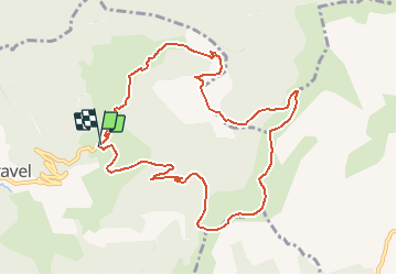

9,4 km | 18,4 km-effort


Utilisateur


Application GPS de randonnée GRATUITE
 SityTrail
IGN / Instituts géographiques
SityTrail World
Le monde est à vous
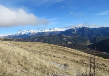
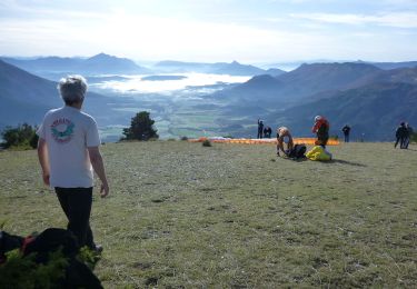
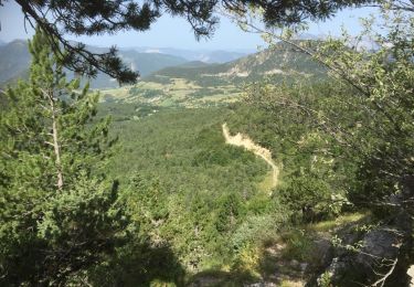
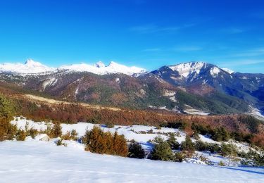
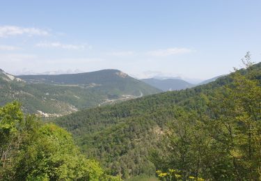
Randonnée Marche de 10,9 km à découvrir à Auvergne-Rhône-Alpes, Drôme, Val-Maravel. Cette randonnée est proposée par collot.
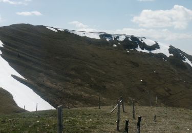
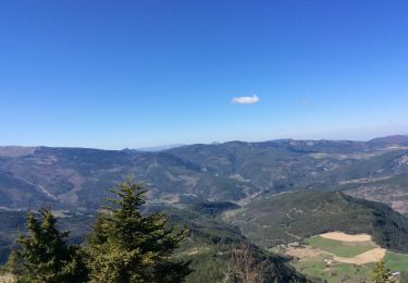
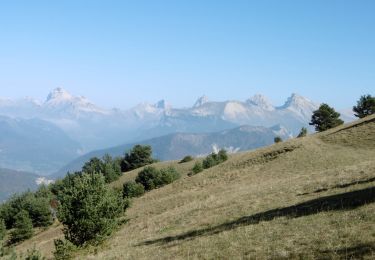
Très belle randonnée avec des panoramas époustouflants !
Amener sa carte top 25, et Michelin pour identifier les sommets proches et lointains.

Marche
Marche
Marche
Marche
Marche
Marche
Marche
Marche
Marche