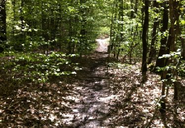
28 km | 33 km-effort
badigeonner 32
jboutet
Utilisateur
Longueur
29 km
Altitude max
315 m
Dénivelé positif
519 m
Km-Effort
36 km
Altitude min
149 m
Dénivelé négatif
534 m
Boucle
Non
Date de création :
2014-12-10 00:00:00.0
Dernière modification :
2014-12-10 00:00:00.0
1h21
Difficulté : Inconnu
Application GPS de randonnée GRATUITE
À propos
Randonnée V.T.T. de 29 km à découvrir à Centre-Val de Loire, Cher, Saint-Éloy-de-Gy. Cette randonnée est proposée par jboutet.
Localisation
Pays :
France
Région :
Centre-Val de Loire
Département/Province :
Cher
Commune :
Saint-Éloy-de-Gy
Localité :
Unknown
Départ:(Dec)
Départ:(UTM)
448316 ; 5225121 (31T) N.
Commentaires
Randonnées à proximité
Forêt d'Allogny
Marche
Facile
Allogny,
Centre-Val de Loire,
Cher,
France
13,1 km | 16,4 km-effort
2h 30min
Oui
Allogny sentes de Bléron
A pied
Très facile
Saint-Éloy-de-Gy,
Centre-Val de Loire,
Cher,
France
9,6 km | 11,7 km-effort
Inconnu
Oui
barangeonne 32km
V.T.T.
Très facile
Saint-Éloy-de-Gy,
Centre-Val de Loire,
Cher,
France
33 km | 40 km-effort
Inconnu
Oui
St Eloi de Gy
Marche
Facile
Saint-Éloy-de-Gy,
Centre-Val de Loire,
Cher,
France
17,9 km | 21 km-effort
4h 0min
Oui
orientation forêt Allogny 21 mai 23
Marche
Très facile
Saint-Éloy-de-Gy,
Centre-Val de Loire,
Cher,
France
4,1 km | 4,6 km-effort
2h 0min
Oui
allogny
V.T.T.
Difficile
Saint-Éloy-de-Gy,
Centre-Val de Loire,
Cher,
France
31 km | 37 km-effort
2h 50min
Non
nancay
Marche
Très facile
Allogny,
Centre-Val de Loire,
Cher,
France
45 km | 56 km-effort
6h 56min
Non