


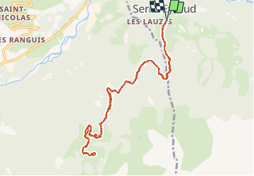

6,3 km | 9,9 km-effort

Utilisateur


Application GPS de randonnée GRATUITE
 SityTrail
IGN / Instituts géographiques
SityTrail World
Le monde est à vous
Randonnée Marche de 12 km à découvrir à Provence-Alpes-Côte d'Azur, Hautes-Alpes, Orcières. Cette randonnée est proposée par Dervalmarc.
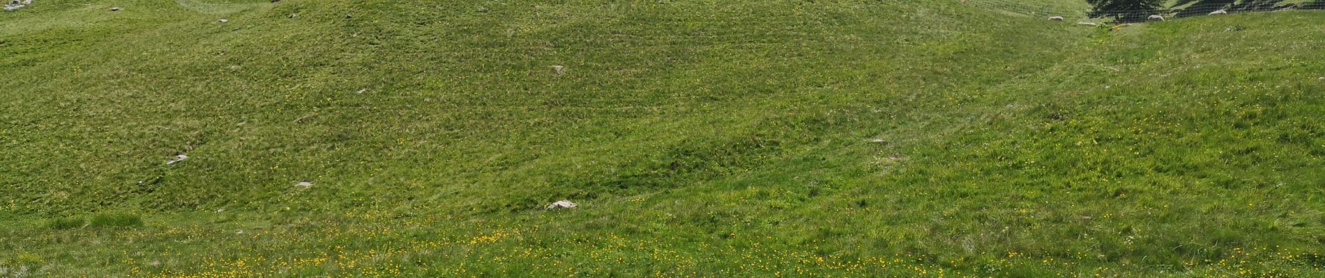
Très bel alpage d'altitude au pieds du col de Combeau.
Attention au patous en pleine saison.


Marche

Marche

Marche

Marche

Marche

Marche

Ski de randonnée

Ski de randonnée
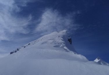
Ski de randonnée